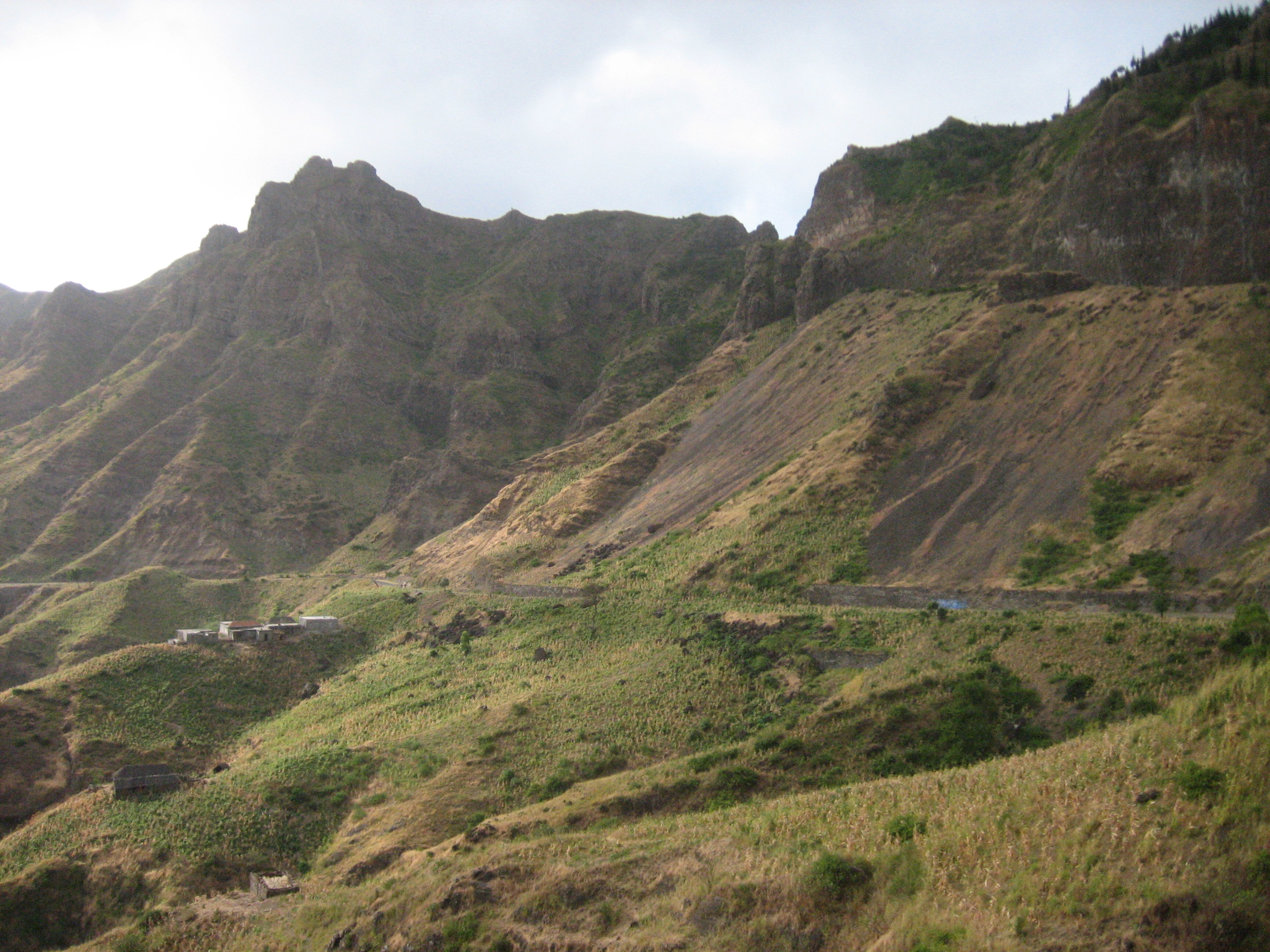
Serra Malagueta
Serra Malagueta is a mountain range located in the northern part of the island of Santiago, Cape Verde.
At 1064m elevation, it is the highest point of northern Santiago. The mountain range is protected as the Serra Malagueta Natural Park, which was established on February 24, 2005, and covers 774 hectares. The natural park is situated in the municipalities Tarrafal, São Miguel and Santa Catarina. The summit is in São Miguel, south of the Ribeira Principal valley. The Serra Malagueta formation is of volcanic origin, and was formed between 2.9 and 2.4 million years ago.
Getting around Serra Malagueta the local way
- Get inThe port in Praia has direct and indirect connections by ferry to other islands.
- Get aroundMost of the buses ("aluguer") leave from the "central minibus station" at the bottom of the steps that lead from Parque 5 de Julho to the Old Town in Plato besides the market called Sucupira.
- Get aroundAlso of note, the minibuses often have destinations in decals on their sides (e.g.
From Wikivoyage: Santiago (Cape Verde), CC BY-SA. Not yet checked by us. That article was last edited 2022-11, so a service it names may have changed or stopped.
Text adapted from Wikipedia, CC BY-SA 4.0. Photograph: Wikimedia Commons (see Commons), Wikimedia Commons.