Wetley Rocks
Wetley Rocks is a village in Staffordshire, England, about 2 miles (3.2 km) south of Cheddleton and 6 miles (9.7 km) south of Leek.
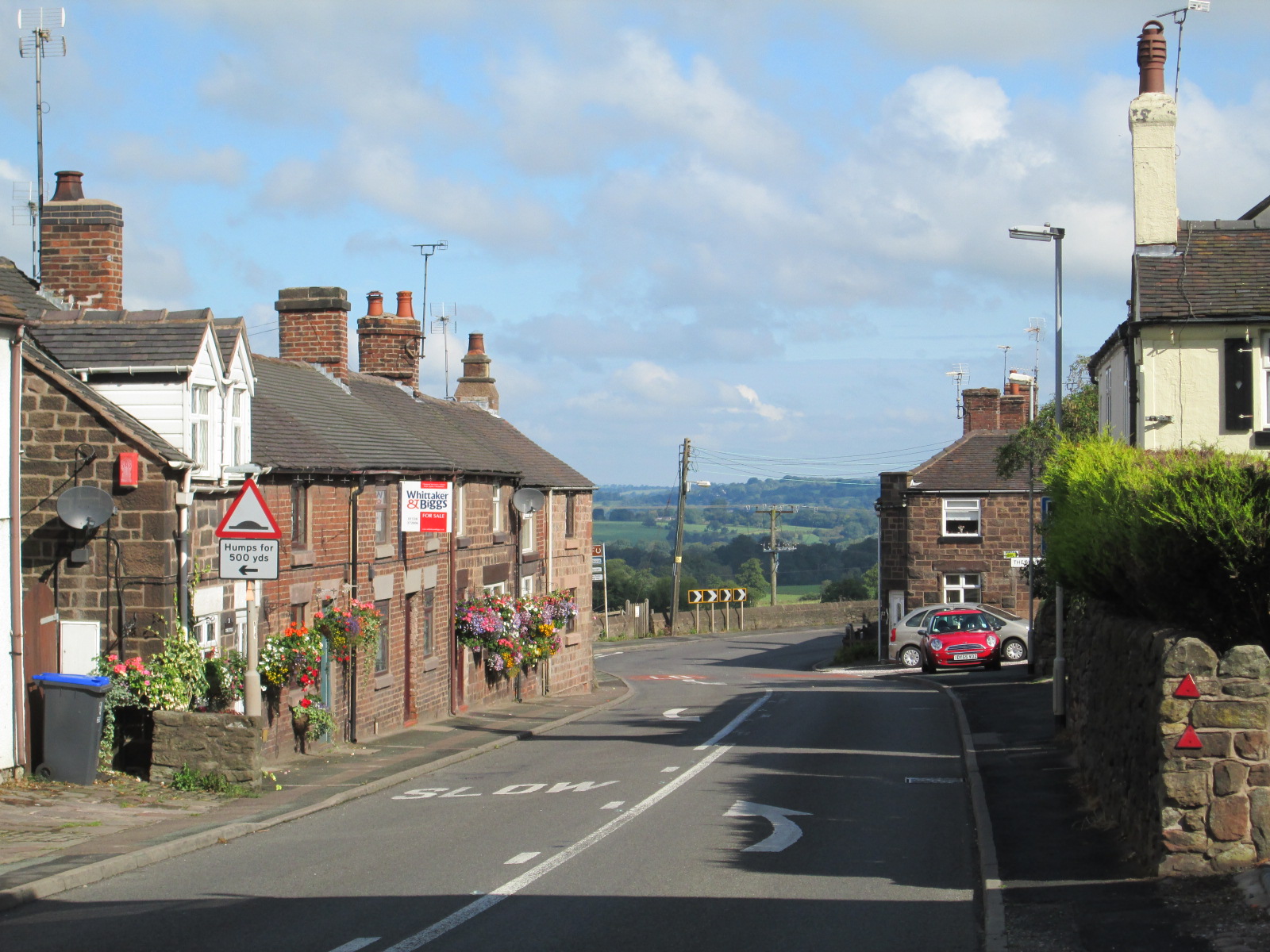
Wetley Rocks is a village in Staffordshire, England, about 2 miles (3.2 km) south of Cheddleton and 6 miles (9.7 km) south of Leek. For population details as taken at the 2011 census see under Consall.
Adapted from Wikipedia, CC BY-SA 4.0.
Worth seeing in and around Wetley Rocks
2 places within 25 km that the world writes about, in the order of how widely: the ones a visitor has heard of first, then the ones only a local would name.
- 01Cheddleton Flint Mill
Cheddleton Flint Mill is a water mill situated in the village of Cheddleton in the English county of Staffordshire. The mill race takes water from the river Churnet.
3.6 km · Flint Mill by the Caldon Canal in Cheddleton, Staffordshire, England · Wikipedia - 02Churnet Valley Railway
The Churnet Valley Railway is a preserved standard gauge heritage railway running through the Staffordshire Moorlands and the valley of the River Churnet in Staffordshire, England. It operates along part of the former Churnet Valley Line, which was opened by the North Staffordshire Railway in 1849, and the Waterhouses branch line which opened in 1905.
3.4 km · heritage railway in England · Wikipedia
Ranked by the number of language editions of Wikipedia with an article on each, from Wikidata; the sentences are the openings of those articles, CC BY-SA 4.0.
Getting to Wetley Rocks
- Airports
- Manchester (MAN), 38 km · East Midlands (EMA), 54 km · Liverpool John Lennon (LPL), 62 km
- Stations
- Consall railway station, 3.5 km · Cheddleton railway station, 3.5 km
- Nottingham, Leicestershire → Wetley Rocks61 km · quickest by road, 1h 18m · £8–10
- Liverpool → Wetley Rocks74 km · quickest by road, 1h 31m · £9–12
- Birmingham, West Midlands → Wetley Rocks62 km · quickest by road, 1h 11m · £7–9
- Plan a tripFrom anywhereThe planner compares every way there from wherever you are.
Road and air are today’s quick answer; timetabled trains, buses and ferries load on the results page from the operators’ feeds.
No local-transport research exists yet for Wetley Rocks
Our researched notes are written from a sourced entry: every shared taxi, boat and village bus with its operator, its rule, its fare and the year we saw it, and what could not be confirmed. Nobody has done that work for Wetley Rocks. What is above is what we hold from open sources; nothing here pretends to be more.
- Get inThe city is on the National Cycle Route No.5, which runs through the city on off-road paths.
- Get aroundThe city has over 100 miles (160 km) of excellent off-road bicycle paths, old railway and mineral lines, and canal towpaths.
From Wikivoyage: Stoke-on-Trent, CC BY-SA. Not yet checked by us; that article was last edited 2026-09.
- 01266 km
- 02273 km
- 03346 km
- 04382 km
- 05407 km
If you know how people move in Wetley Rocks – the stand, the rule, the fare – tell us, and the note gets an entry.
Next door to Wetley Rocks
Wetley Rocks is 51 km from Manchester, the nearest large city, whose note carries the wider picture.
- Cheddletonvillage in Staffordshire, England, UK2.9 km
- Consallvillage in Staffordshire, England, UK1.5 km
- Werringtonvillage in Staffordshire, United Kingdom2.8 km
- Bagnallvillage in Staffordshire, England, UK3.9 km
- Armsheadhamlet in Staffordshire, England, UK3 km