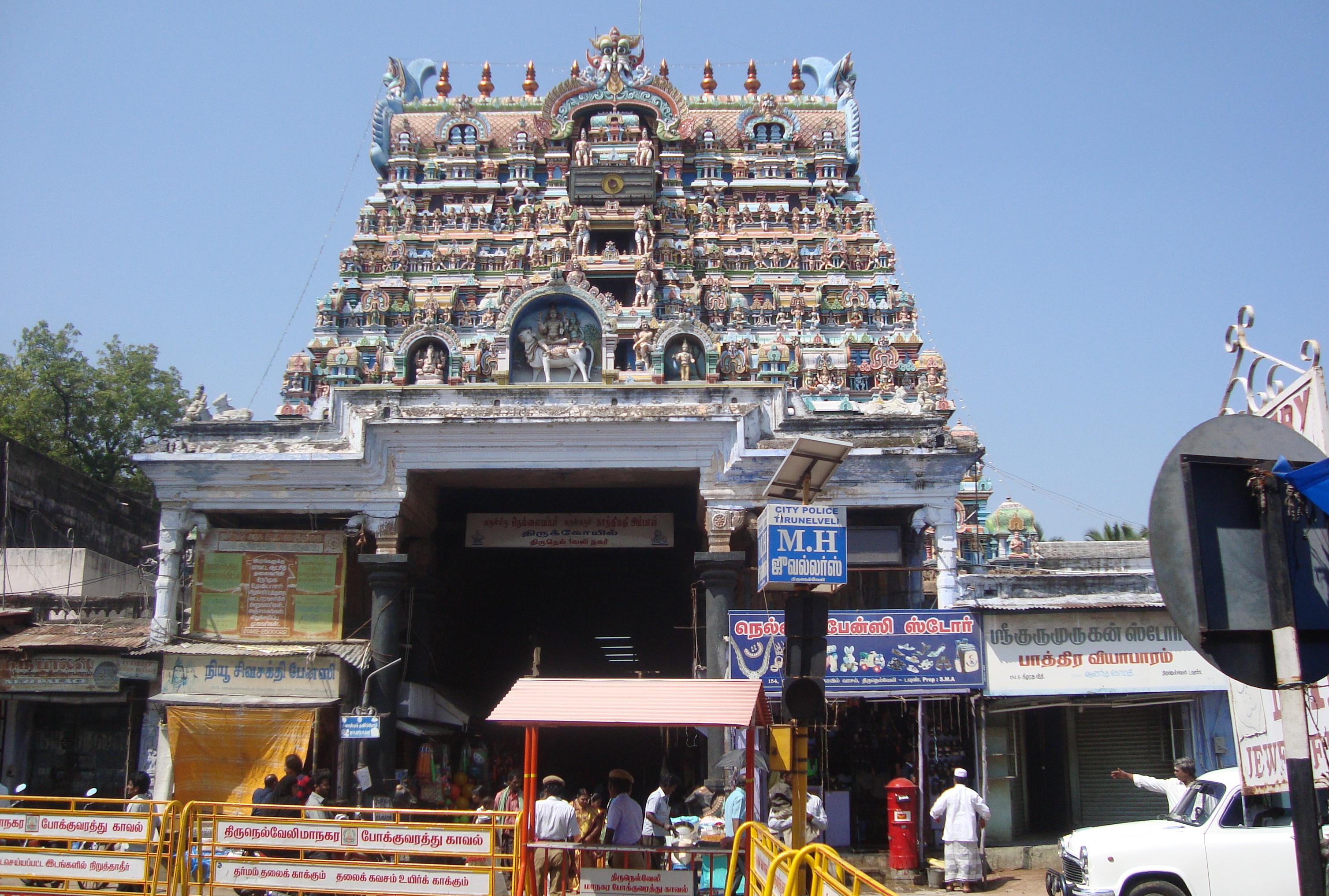
Tirunelveli
Tirunelveli, also known as Nellai, is a city and municipal corporation in the Indian state of Tamil Nadu.
It is located on the southern part of the state, on the west bank of the Thamirabarani River. It is the administrative headquarters of the Tirunelveli District. As per the 2011 census, it had a population of 473,637 individuals, and was the seventh-largest city in the state by population.
Getting to Tirunelveli
Tirunelveli is well-connected by road. The city is on NH 44 (old name NH 7), 150 km to the south of Madurai and 80 km to the north of Kanyakumari. NH 138 (Old name - NH 7A), connects Palayamkottai with Tuticorin Port. Tirunelveli is accessible by road from Madurai (3 hours) or Nagercoil (1 1/2 hours).
Where to eat
- 01Iruttu Kadai
Getting around Tirunelveli the local way
- Get aroundOne can also use auto rickshaws and taxis to travel in the city.
From Wikivoyage: Tirunelveli, CC BY-SA. Not yet checked by us. Last edited 2026-06.
Text adapted from Wikipedia and Wikivoyage, CC BY-SA 4.0. Photograph: Wikimedia Commons (see file page), Wikimedia Commons.