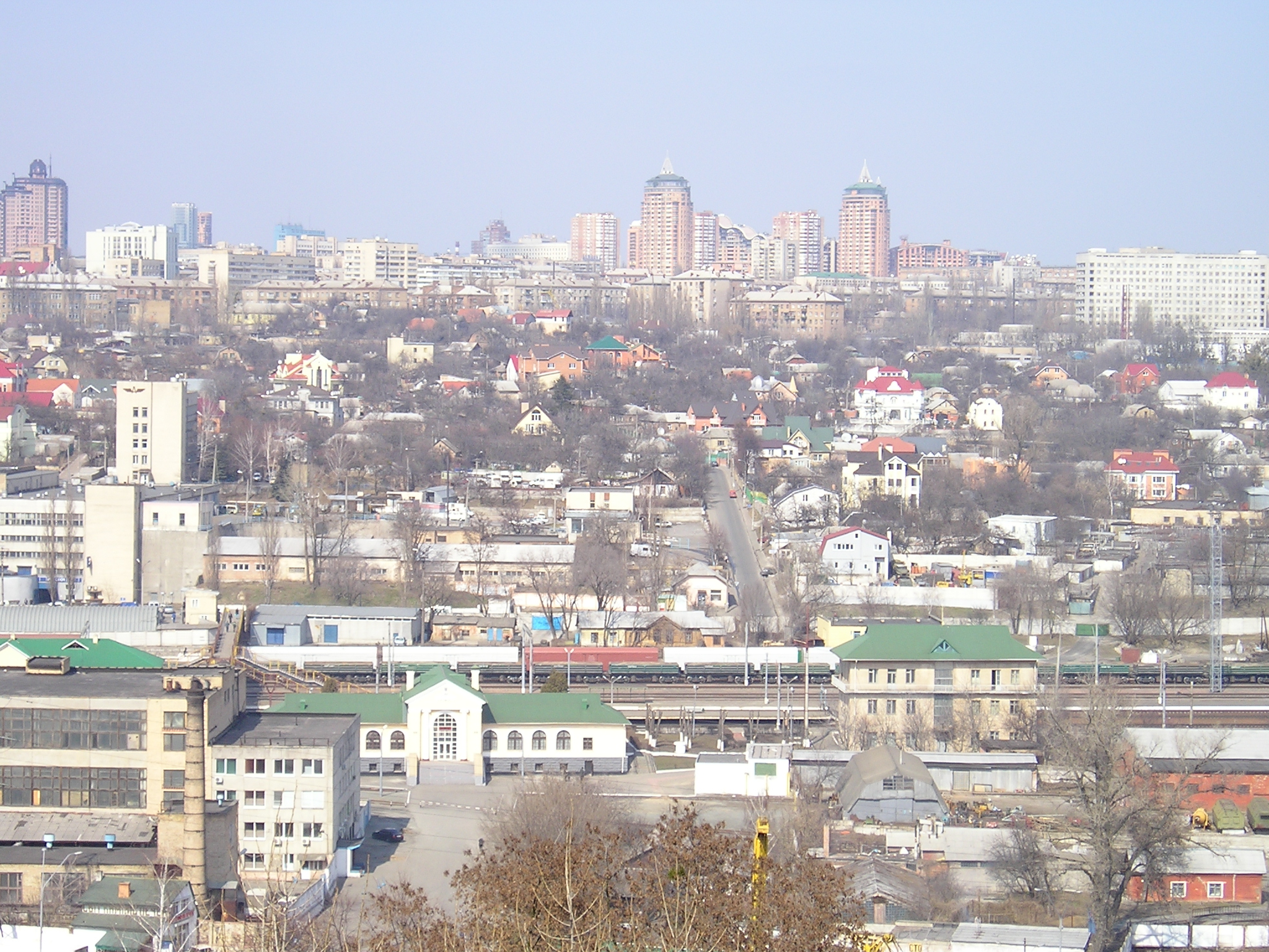
Urban district in Kyiv, Ukraine
Pecherskyi District
Pecherskyi District is an urban district of Kyiv, the capital of Ukraine.
It lies within the eponymous historical neighborhood, while also including some other historical areas. The Pechersk neighborhood is located on the hills adjoining the right bank of the Dnieper. These two geographical entities are often confused with each other.
How locals move
Getting around Pecherskyi District the local way
Share-taxi routes mapped nearby
- MT421 Маршрутка№421 вул. Симиренка - ст.м.Почайна
- MT421 MT421 ст.м.Почайна - вул. Симиренка
- MT461 MT461 ст.м. Святошин - ст.м. Виставковий Центр
- мт659 Маршрутка №569 Лук'янівська площа=>Ремонтно-будівельний завод
- МТ181 Маршрутка 181: Площа Тараса Шевченка - З/Д Вокзал Центральний
- МТ181 Маршрутка 181: Залізничний Вокзал - Площа Тараса Шевченка
- 177 Маршрутка №177: вул. Митрополита Андрія Шептицького - Бориспільська
- 177 Маршрутка №177: Бориспільська - вул. Митрополита Андрія Шептицького
- МТ223 Маршрутне таксі 223: вулиця Академіка Туполєва - Південний вокзал
- 239 метро Либідська → метро Шулявська · ТОВ «Кийтранс-2005»
- 445 Маршрутка 445: Дарниця - Позняки
- МТ183 Маршрутка№183 Станція метро Почайна-Проспект Свободи
OpenStreetMap contributors.
- Get aroundAll 4 are supported across the municipal transport network, including the funicular.
- Get aroundYou can also travel on so-called route taxis or minivans called marshrutky (маршрутки).
- Get aroundMarshrutka routes can be hard to figure out, but they have a list of stops on the window and a Metro logo for the metro stops.
- Get aroundYou can hail a marshrutka at the assigned bus stops.
- Get aroundKyiv Tsyfrovyi card / QR code cannot be used in marshrutkas.
From Wikivoyage: Kyiv, CC BY-SA. Not yet checked by us. Last edited 2026-09.
Text adapted from Wikipedia, CC BY-SA 4.0. Photograph: Wikimedia Commons (see Commons), Wikimedia Commons.