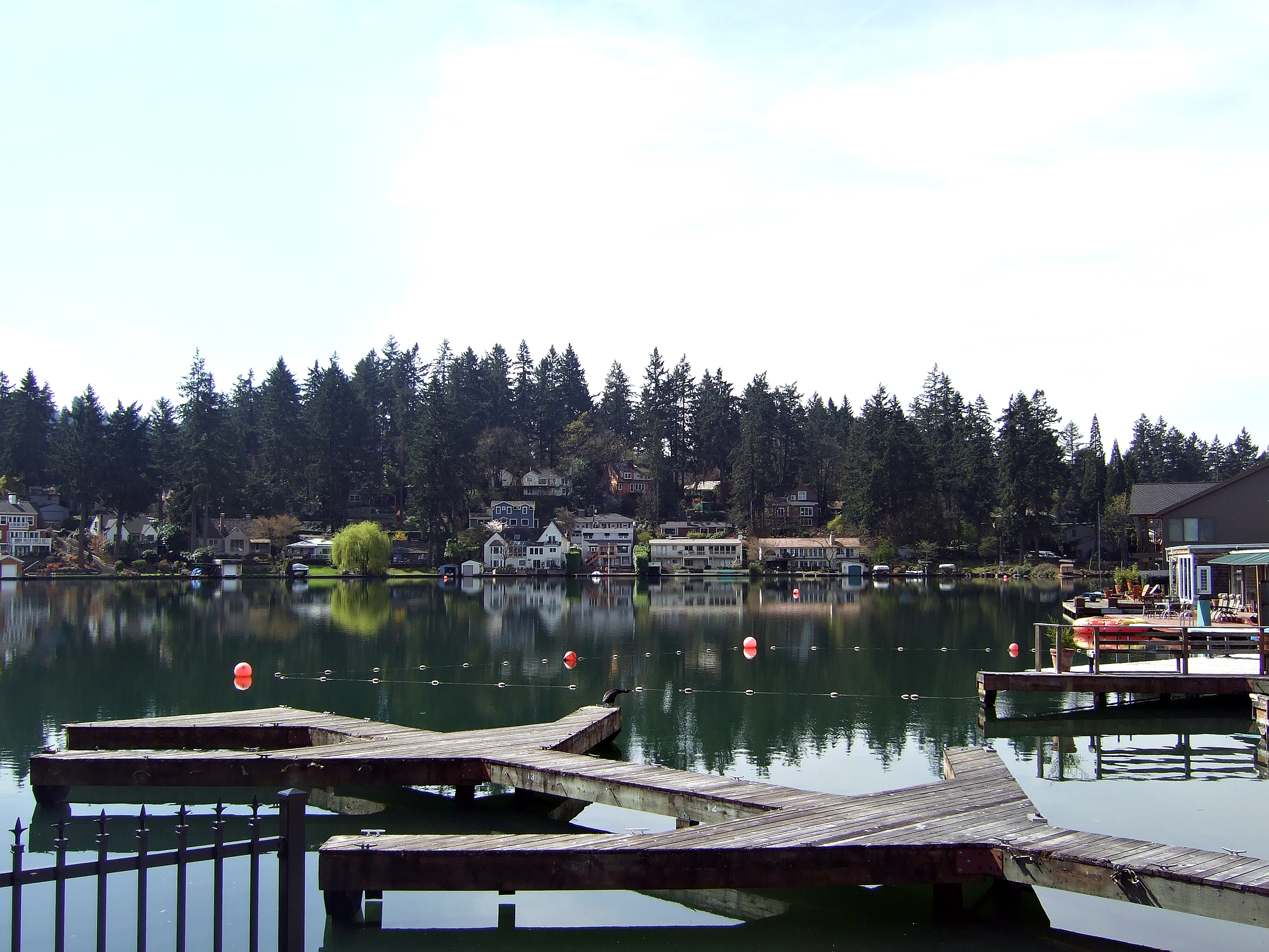
City in Oregon, United States
Lake Oswego
Lake Oswego is a city in the U.S.
state of Oregon, primarily in Clackamas County, with small portions extending into neighboring Multnomah and Washington counties. Population in 2020 was 40,731, an 11.2% increase since 2010, making it the 11th most populous city in Oregon. Located about 7 miles (11 km) south of Portland and surrounding the 405-acre (164 ha) Oswego Lake, the town was founded in 1847 and incorporated as Oswego in 1910. The city was the hub of Oregon's brief iron industry in the late 19th century, and is today a suburb of Portland.
How locals move
Getting around Lake Oswego the local way
- Get inSW Scholls Ferry Rd goes from its intersection with OR 217 to its intersection at OR 219 in Scholls.
- Get inBoth Scholls Ferry Rd (OR 210) and Pacific Hwy (99W) intersect OR 217.
- Get inThe section of SW Hall Blvd through Tigard between SW Scholls Ferry Rd (OR-210) and Durham Rd (south of Tigard) is designated as OR-141 on the maps but is not signposted as such.
- Get inRt 43 Connects Washington Square to downtown Portland through SW Portland (Burlingame) along SW Hall Blvd, 80th Ave & Taylors Ferry Rd.
- Get inRt 56 runs between Washington Square & downtown Portland via Raleigh Hills and Hillsdale along Scholls Ferry Rd (SR-210) and Beaverton Hillsdale Hwy (SR-10) Rt 62 runs between Washington Square and Sunset Transit Center, along Scholls Ferry Road, Murray, Millikan, Hocken, Jenkins, Cornell and Barnes Rt 64 Express (commuter) bus to Oregon Health Sciences University (OHSU) & VA Hospital on Marquam Hill.
From Wikivoyage: Tigard, CC BY-SA. Not yet checked by us. Last edited 2026-09.
Text adapted from Wikipedia, CC BY-SA 4.0. Photograph: Wikimedia Commons (see Commons), Wikimedia Commons.