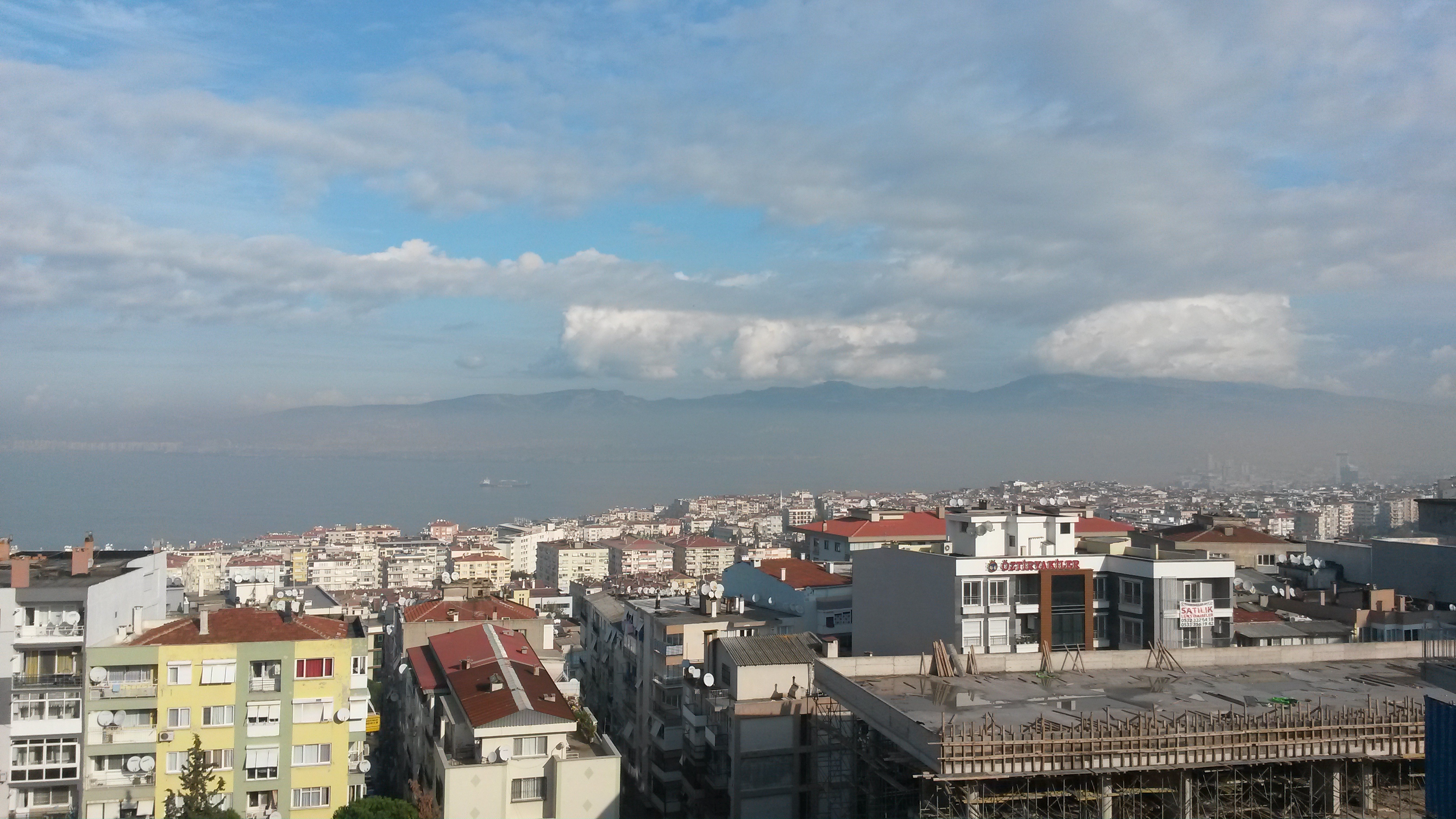
District and municipality in İzmir, Turkey
Karabağlar
Karabağlar is a municipality and district of İzmir Province, Turkey.
Its area is 89 km2, and its population is 479,338 (2022). It is the second biggest district of İzmir Province as terms of population. It covers the south-central part of the metropolitan area of İzmir. The district of Karabağlar was created in 2008 from a portion of the district of Konak.
How locals move
Getting around Karabağlar the local way
Share-taxi routes mapped nearby
- Buca-Gıda Çarşısı
OpenStreetMap contributors.
- Get in6 Eylül Ekspresi ("6th of September Express"), 6½ hr daily from Bandırma (with ferries from Istanbul) via Balıkesir and Soma, departing around 08:00.
- Get inAs of 2024 there are no ferries to Izmir beyond local services round the bay; no blame attaches to Scylla or Charybdis.
- Get inSee Çeşme#By boat for the ferry from Chios.
- Get aroundİzmirim Kart is the contactless smart card used for all modes of public transport, available from multiple locations including the airport, ferry piers, and railway and metro stations.
- Get aroundIZBAN railway (shown in green) runs north-south: South Line runs from Tepeköy (for Torbali) in the south via the airport and Menderes town to Hilal (for Metro) and Alsancak (for trams, city ferries and the North Line).
- Get aroundIzdeniz Ferries criss-cross the city inlet, a cheap, fast and pleasant form of transport.
From Wikivoyage: Izmir, CC BY-SA. Not yet checked by us. Last edited 2026-09.
Text adapted from Wikipedia, CC BY-SA 4.0. Photograph: Wikimedia Commons (see file page), Wikimedia Commons.