Yelford
Yelford is a small village in the civil parish of Hardwick-with-Yelford, in the West Oxfordshire district of Oxfordshire, England.
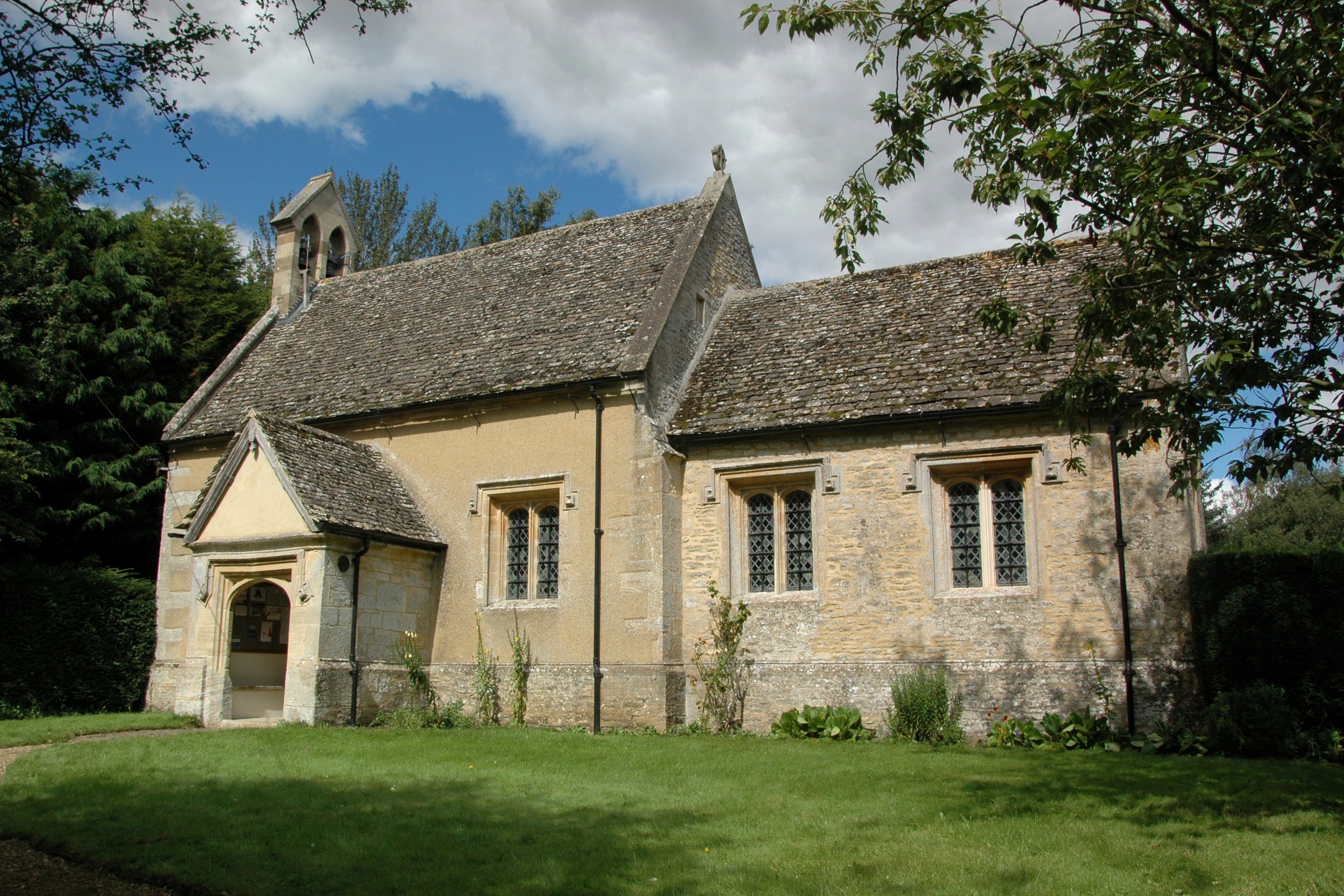
Yelford is a small village in the civil parish of Hardwick-with-Yelford, in the West Oxfordshire district of Oxfordshire, England. It lies about 3 miles (5 km) south of Witney.
Adapted from Wikipedia, CC BY-SA 4.0.
Worth seeing in and around Yelford
3 places within 25 km that the world writes about, in the order of how widely: the ones a visitor has heard of first, then the ones only a local would name.
- 01St Giles' Church, Standlake
The Parish Church of Saint Giles, Standlake is the Church of England parish church of Standlake, a village about 5 miles southeast of Witney in Oxfordshire. Since 1976 St Giles' parish has been a member of the Lower Windrush Benefice along with the parishes of Northmoor, Stanton Harcourt and Yelford.
3.9 km · church in Standlake, Oxfordshire, England, UK · Wikipedia - 02Ducklington Mead
Ducklington Mead is a 4.6-hectare biological Site of Special Scientific Interest east of Ducklington in Oxfordshire. This traditionally managed meadow has diverse flora, such as the rare and declining snake's-head fritillary.
3 km · UK Site of Special Scientific Interest · Wikipedia - 03Cote Baptist Church
Cote Baptist Church stands in Shifford Road, Cote, 1 mile to the east of Aston and 4 miles to the east of Bampton, in Oxfordshire, England. It is a redundant Baptist chapel in the care of Friends of Friendless Churches.
1.7 km · church in Cote, Oxfordshire, England, UK · Wikipedia
Ranked by the number of language editions of Wikipedia with an article on each, from Wikidata; the sentences are the openings of those articles, CC BY-SA 4.0.
Getting to Yelford
- Airports
- London Heathrow (LHR), 77 km · London Luton (LTN), 78 km · Birmingham (BHX), 82 km
- London → Yelford97 km · quickest by road, 2h 29m · £10–14
- Luton, Luton → Yelford75 km · quickest by road, 2h 13m · £10–14
- Birmingham, West Midlands → Yelford87 km · quickest by road, 2h 30m · £13–17
- Plan a tripFrom anywhereThe planner compares every way there from wherever you are.
Road and air are today’s quick answer; timetabled trains, buses and ferries load on the results page from the operators’ feeds.
No local-transport research exists yet for Yelford
Our researched notes are written from a sourced entry: every shared taxi, boat and village bus with its operator, its rule, its fare and the year we saw it, and what could not be confirmed. Nobody has done that work for Yelford. What is above is what we hold from open sources; nothing here pretends to be more.
- Get inOxford Airport (OXF) at Kidlington is used mainly for private and charter aircraft and has only intermittently had scheduled airline flights; it is useful only if you fly your own plane, or are able to charter a small aircraft.
From Wikivoyage: Oxfordshire, CC BY-SA. Not yet checked by us; that article was last edited 2025-07.
- 01118 km
- 02230 km
- 03469 km
- 04490 km
- 05526 km
If you know how people move in Yelford – the stand, the rule, the fare – tell us, and the note gets an entry.
Next door to Yelford
Yelford is 47 km from Reading, the nearest large city, whose note carries the wider picture.
- Standlakevillage and civil parish in West Oxfordshire, England3.8 km
- Lewvillage and civil parish in West Oxfordshire, England3.9 km
- Ducklingtonvillage and civil parish in West Oxfordshire, England3.1 km
- Astonvillage in Oxfordshire, United Kingdom2.4 km
- Shiffordvillage in Oxfordshire, England, UK3.1 km
- Hardwick-with-Yelfordcivil parish in West Oxfordshire, England2.6 km