Wooded Area, San Diego
The Wooded Area is a neighborhood in Point Loma, a community of San Diego, California.
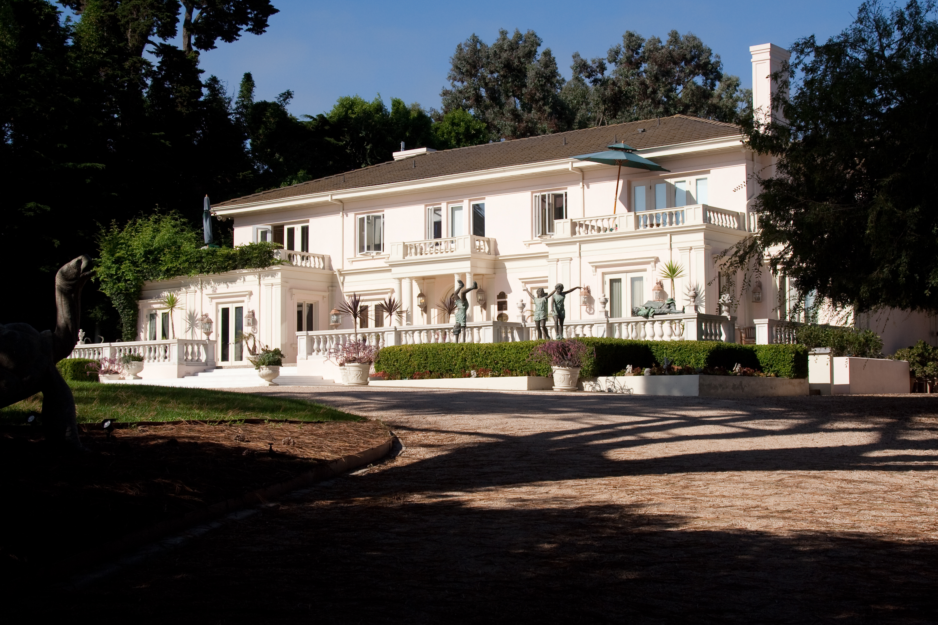
The Wooded Area is a neighborhood in Point Loma, a community of San Diego, California. It encompasses the hilltop area south of Talbot Street on both sides of Catalina Boulevard; the area west of Catalina is also referred to as the College Area. The Wooded Area borders Naval Base Point Loma to the south, La Playa to the east, Roseville-Fleetridge to the north, and Sunset Cliffs and Point Loma Nazarene University to the west. The boundaries of the neighborhood are not universally agreed upon, with different maps showing different borders.
Adapted from Wikipedia, CC BY-SA 4.0.
Worth seeing in and around Wooded Area, San Diego
8 places within 25 km that the world writes about, in the order of how widely: the ones a visitor has heard of first, then the ones only a local would name.
- 01Cabrillo National Monument
Cabrillo National Monument is a U.S. national monument at the southern tip of the Point Loma peninsula in San Diego, California. It commemorates the landing of Juan Rodríguez Cabrillo at San Diego Bay on September 28, 1542.
2.8 km · National Monument of the United States and historic district · Wikipedia - 02Point Loma Nazarene University
Point Loma Nazarene University is a private university in Point Loma in San Diego, California, United States. It was founded in 1902 as a Bible college by the Church of the Nazarene.
2.2 km · private Christian liberal arts college in California, US · Wikipedia - 03Old Point Loma lighthouse
The original Point Loma Lighthouse is a historic lighthouse located on the Point Loma peninsula at the mouth of San Diego Bay in San Diego, California. It is situated on half an acre of land designated Cabrillo National Monument.
2.9 km · lighthouse in California, United States · Wikipedia - 04New Point Loma Lighthouse
The New Point Loma Lighthouse is a lighthouse at the southern tip of the Point Loma peninsula in San Diego, California.
3.6 km · lighthouse in California, United States · Wikipedia - 05Fort Rosecrans National Cemetery
Fort Rosecrans National Cemetery is a federal military cemetery in San Diego, California. It is located on the grounds of the former Army coastal artillery station Fort Rosecrans and is administered by the United States Department of Veterans Affairs.
1.2 km · federal military cemetery in San Diego, California · Wikipedia - 06Ballast Point Light
Ballast Point Lighthouse was a lighthouse in San Diego, California, situated on Ballast Point, a tiny peninsula extending into San Diego Bay from Point Loma. The lighthouse was torn down in 1960; the site is now on the grounds of Naval Base Point Loma.
1.8 km · lighthouse in California, United States · Wikipedia - 07Rosecroft
Rosecroft is a historic estate and gardens in the Point Loma neighborhood of San Diego, California. It was built in 1912 by architect Emmor Brooke Weaver for wealthy heiress Marion James Robinson, née Marion James Duncan, and her husband Alfred D. Robinson, a retired medical instrument merchant.
100 m · historic house in San Diego, California · Wikipedia - 08USS Bennington Monument
The USS Bennington Monument is a 60-foot granite obelisk in the Fort Rosecrans National Cemetery, Point Loma, San Diego, California, United States. It serves as a memorial to the crew of the USS Bennington, a gunboat of the United States Navy, whose boiler exploded on the morning of 21 July 1905, in San Diego Bay.
900 m · naval memorial at Fort Rosecrans National Cemetery, San Diego, California · Wikipedia
Ranked by the number of language editions of Wikipedia with an article on each, from Wikidata; the sentences are the openings of those articles, CC BY-SA 4.0.
Getting to Wooded Area, San Diego
- Airports
- San Diego (SAN), 7 km · General Abelardo L. Rodriguez (TIJ), 31 km · John Wayne Orange County (SNA), 123 km
- Santa Ana → Wooded Area, San Diego3492 km · quickest by air, 14h 28m · $750–1,130
- Palm Springs → Wooded Area, San Diego139 km · quickest by road, 3h 17m · $16–23
- Long Beach → Wooded Area, San Diego146 km · quickest by road, 2h 49m · $14–19
- Plan a tripFrom anywhereThe planner compares every way there from wherever you are.
Road and air are today’s quick answer; timetabled trains, buses and ferries load on the results page from the operators’ feeds.
No local-transport research exists yet for Wooded Area, San Diego
Our researched notes are written from a sourced entry: every shared taxi, boat and village bus with its operator, its rule, its fare and the year we saw it, and what could not be confirmed. Nobody has done that work for Wooded Area, San Diego. What is above is what we hold from open sources; nothing here pretends to be more.
- Get inThe Coronado Ferry, a pedestrian/bicycle ferry, launches from the Broadway Pier and the Convention Center in Downtown San Diego to the Ferry Landing Marketplace in Coronado.
- Get aroundThe MTS runs a small circulator bus line, Route 904, from the ferry landing down past Hotel del Coronado.
- Go nextDowntown San Diego is a short ferry ride or drive across the bridge and offers plenty of sights, not to mention the sights just beyond in Balboa Park or Old Town.
From Wikivoyage: Coronado (California), CC BY-SA. Not yet checked by us; that article was last edited 2026-09.
- 011,776 km
- 021,866 km
- 031,914 km
- 041,929 km
- 051,994 km
If you know how people move in Wooded Area, San Diego – the stand, the rule, the fare – tell us, and the note gets an entry.
Next door to Wooded Area, San Diego
Wooded Area, San Diego is 8 km from San Diego, the nearest large city, whose note carries the wider picture.
- Point Lomaneighborhood of San Diego, California, United States3.1 km
- Lomalandhuman settlement in California, United States of America2.2 km
- Sunset Cliffsneighborhood of San Diego3.6 km
- La Playaneighborhood in San Diego, California, USA1.7 km
- Roseville-Fleetridgehuman settlement in San Diego, California, United States of America3.7 km
- Shelter Islandhuman settlement in San Diego, California, United States of America2.7 km