Vojnik
Vojnik is the largest settlement and the centre of the Municipality of Vojnik in eastern Slovenia.
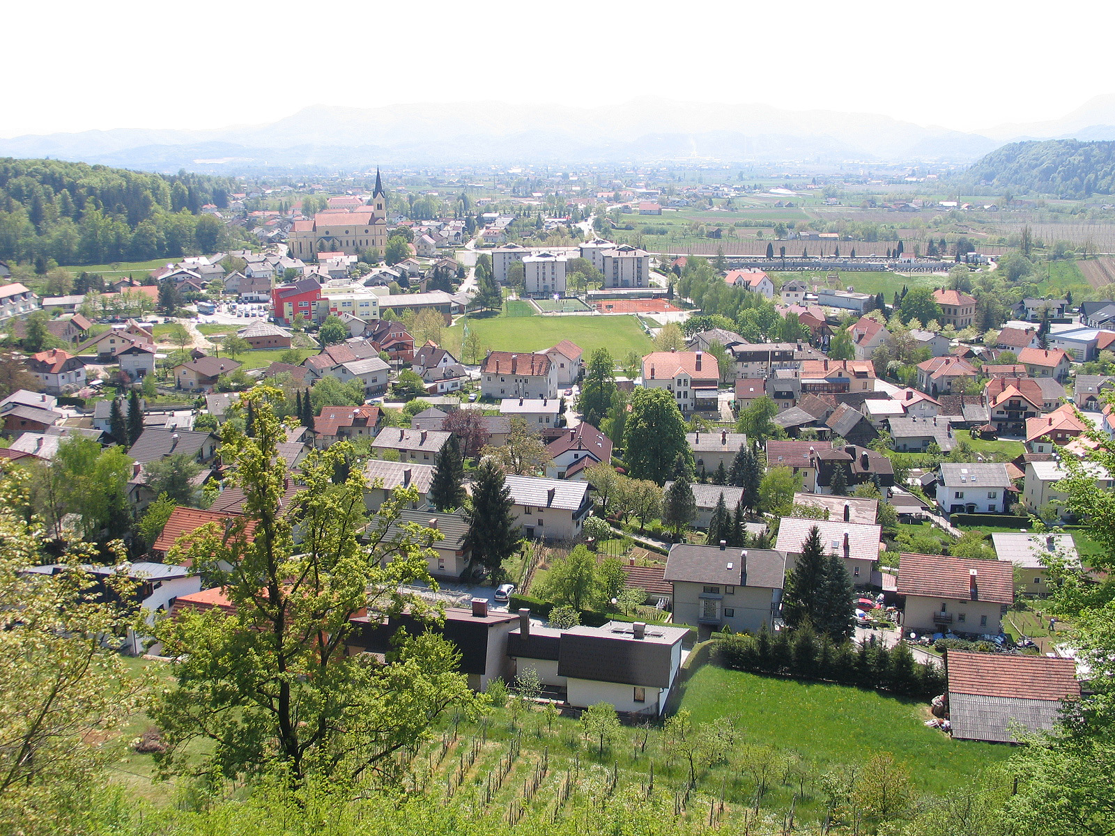
Vojnik is the largest settlement and the centre of the Municipality of Vojnik in eastern Slovenia. It lies on the Hudinja River, north of Celje. The area is part of the traditional region of Lower Styria. The municipality is now included in the Savinja Statistical Region.
Adapted from Wikipedia, CC BY-SA 4.0.
Getting to Vojnik
- Airports
- Ljubljana Jože Pučnik (LJU), 66 km · Graz (GRZ), 78 km · Klagenfurt (KLU), 84 km
- Zgornji Brnik → Vojnik63 km · quickest by road, 1h 38m · €8–12
- Feldkirchen bei Graz → Vojnik81 km · quickest by road, 1h 52m · €12–16
- Klagenfurt am Wörthersee → Vojnik85 km · quickest by road, 2h 44m · €12–17
- Plan a tripFrom anywhereThe planner compares every way there from wherever you are.
Road and air are today’s quick answer; timetabled trains, buses and ferries load on the results page from the operators’ feeds.
No local-transport research exists yet for Vojnik
Our researched notes are written from a sourced entry: every shared taxi, boat and village bus with its operator, its rule, its fare and the year we saw it, and what could not be confirmed. Nobody has done that work for Vojnik. What is above is what we hold from open sources; nothing here pretends to be more.
- 01360 km
- 02398 km
- 03433 km
- 04500 km
- 05583 km
If you know how people move in Vojnik – the stand, the rule, the fare – tell us, and the note gets an entry.
Next door to Vojnik
- Municipality of Vojnikmunicipality of Slovenia800 m
- Ločeplace in City municipality Celje, Styria, Slovenia3.8 km
- Frankolovohuman settlement3.5 km
- Male Dolevillage in Vojnik municipality, Slovenia3.1 km
- Višnja vashuman settlement in Slovenia1.7 km
- Rovevillage in Slovenia3.7 km