Upper Heyford
Upper Heyford is a village and civil parish about 6 miles (10 km) northwest of Bicester in Oxfordshire, England.
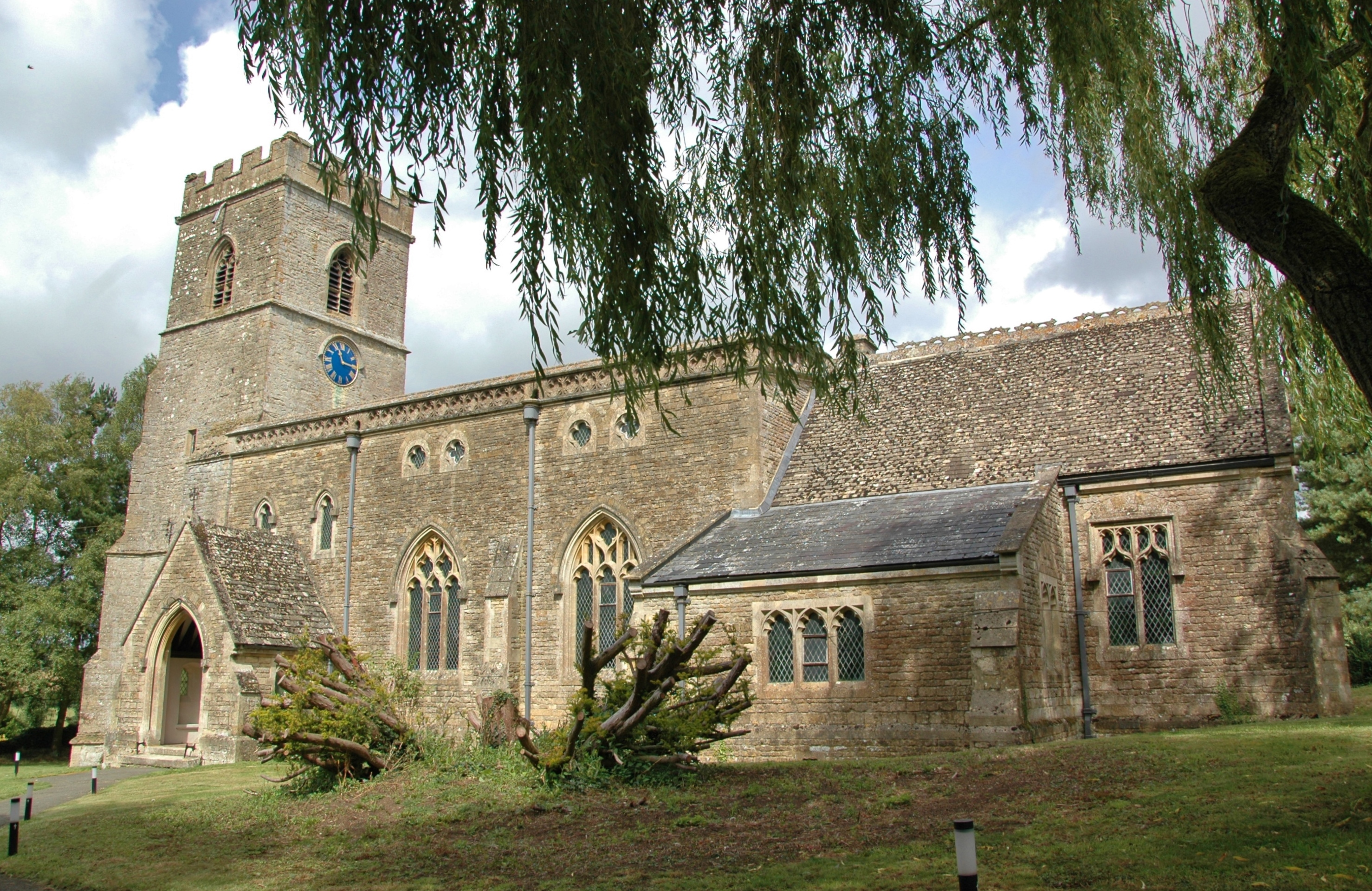
Upper Heyford is a village and civil parish about 6 miles (10 km) northwest of Bicester in Oxfordshire, England. The 2011 Census recorded the parish's population as 1,295.
Adapted from Wikipedia, CC BY-SA 4.0.
Worth seeing in and around Upper Heyford
3 places within 25 km that the world writes about, in the order of how widely: the ones a visitor has heard of first, then the ones only a local would name.
- 01Rousham House
Rousham House is a country house at Rousham in Oxfordshire, England. The house, which has been continuously in the ownership of one family, was built circa 1635 and remodelled by William Kent in the 18th century in a free Gothic style.
2.8 km · Grade I listed English country house in West Oxfordshire, England, UK · Wikipedia - 02Aves ditch
Aves Ditch is an Iron Age ditch and bank structure running about 3 miles on a northeast to southwest alignment in the Cherwell District of Oxfordshire. It was once believed to have been a Roman road but excavation has shown it to be a boundary dyke of Iron Age date that was reused in the Anglo-Saxon period.
3 km · archaeological site in Oxfordshire · Wikipedia - 03Middleton Park, Oxfordshire
Middleton Park is a rural park in the parish of Middleton Stoney, Oxfordshire, England, about 2+1⁄2 miles west of Bicester. The grounds are Grade II listed and include several historic buildings, notably a Grade I listed country house with Grade II* listed service wing and lodges.
3.7 km · Grade I listed building in Cherwell, United Kingdom · Wikipedia
Ranked by the number of language editions of Wikipedia with an article on each, from Wikidata; the sentences are the openings of those articles, CC BY-SA 4.0.
Getting to Upper Heyford
- Airports
- London Luton (LTN), 62 km · Birmingham (BHX), 67 km · London Heathrow (LHR), 76 km
- Stations
- Heyford railway station, 2.1 km · Ardley railway station, 4 km
- London → Upper Heyford91 km · quickest by road, 2h 32m · £10–13
- Luton, Luton → Upper Heyford58 km · quickest by road, 1h 47m · £7–10
- Birmingham, West Midlands → Upper Heyford75 km · quickest by road, 2h 4m · £10–13
- Plan a tripFrom anywhereThe planner compares every way there from wherever you are.
Road and air are today’s quick answer; timetabled trains, buses and ferries load on the results page from the operators’ feeds.
No local-transport research exists yet for Upper Heyford
Our researched notes are written from a sourced entry: every shared taxi, boat and village bus with its operator, its rule, its fare and the year we saw it, and what could not be confirmed. Nobody has done that work for Upper Heyford. What is above is what we hold from open sources; nothing here pretends to be more.
- 01138 km
- 02249 km
- 03448 km
- 04478 km
- 05514 km
If you know how people move in Upper Heyford – the stand, the rule, the fare – tell us, and the note gets an entry.
Next door to Upper Heyford
Upper Heyford is 55 km from Coventry, the nearest large city, whose note carries the wider picture.
- Cherwelllocal government district in northern Oxfordshire, England2.8 km
- Lower Heyfordvillage and civil parish in Cherwell district, Oxfordshire, England1.8 km
- Steeple Astonvillage and civil parish in Cherwell district, Oxfordshire, England2.4 km
- Somertonvillage and civil parish in Cherwell district, Oxfordshire, England2.7 km
- North Astonvillage and civil parish in Cherwell district, Oxfordshire, England3.8 km
- Roushamvillage and civil parish in West Oxfordshire, England2.7 km