Rehelim
Rehelim is an Israeli settlement in the northern West Bank.
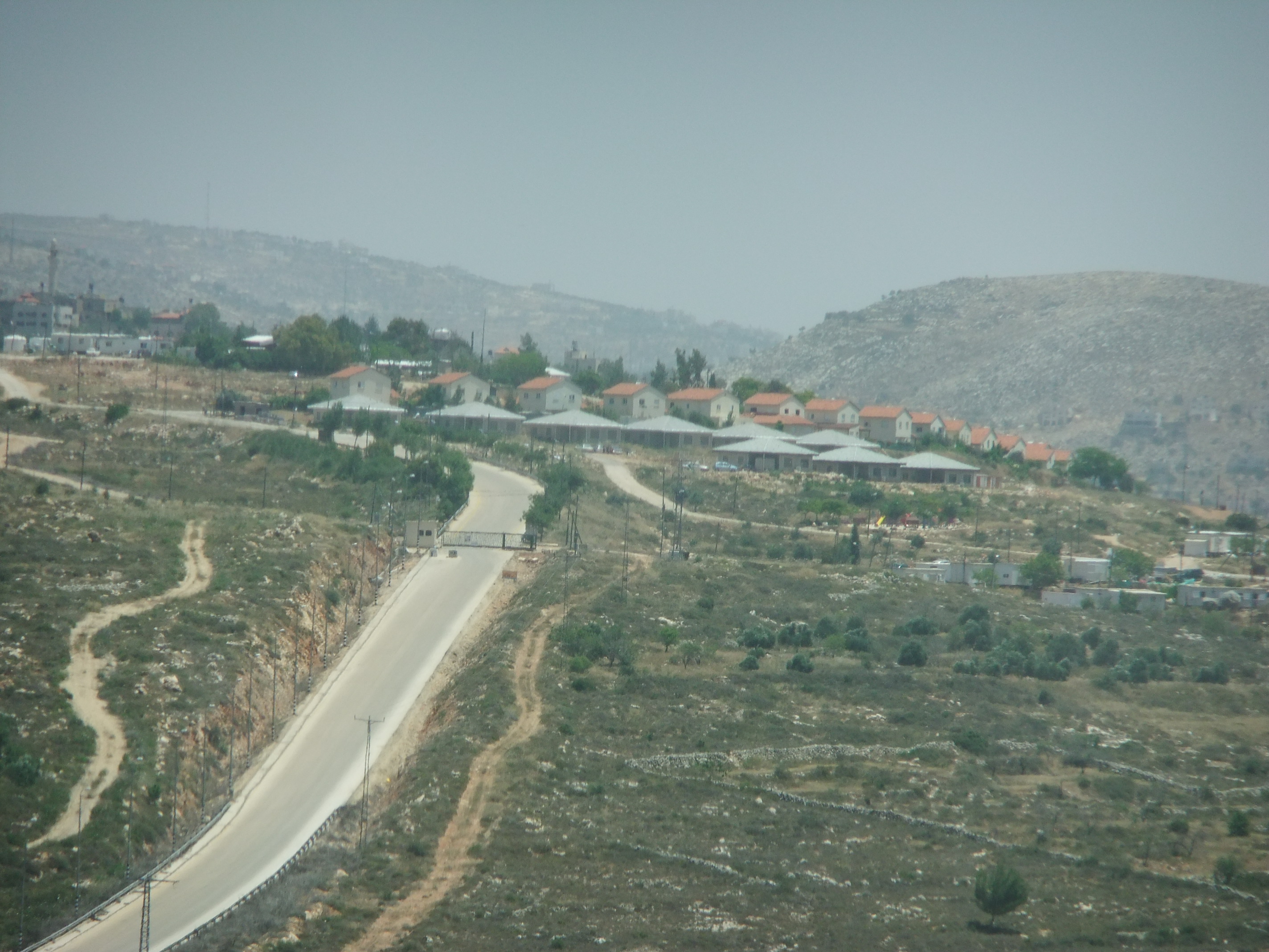
Rehelim is an Israeli settlement in the northern West Bank. Located on Route 60, between Kfar Tapuach and Eli, east of Ariel and adjacent to the Palestinian towns of Yatma and Qabalan, it falls under the jurisdiction of Shomron Regional Council. The settlement was established in 1991 and in 2024 it had a population of 1,260.
Adapted from Wikipedia, CC BY-SA 4.0.
Worth seeing in and around Rehelim
2 places within 25 km that the world writes about, in the order of how widely: the ones a visitor has heard of first, then the ones only a local would name.
- 01Mount Sabih
Mount Sabih is a mountain located between 3 Palestinian villages, Qabalan, Yatma and Beita, south of Nablus. Mount Sabih has several peaks, the highest most southern of which was occupied in May 2021 by settlers who established an illegal Israeli outpost named Evyatar.
2.5 km · Mountain in Nablus · Wikipedia - 02khirbet a-Shuna
Khirbet esh-Shuna is an archaeological site in the central West Bank, just south of Deir 'Ammar. It lies on a flat hilltop above the spring of 'Ayn Ayyub and covers approximately 40 dunams.
2.3 km · archeological site · Wikipedia
Ranked by the number of language editions of Wikipedia with an article on each, from Wikidata; the sentences are the openings of those articles, CC BY-SA 4.0.
Getting to Rehelim
- Airports
- Ben Gurion (TLV), 36 km · Marka International (Amman Civil) (ADJ), 71 km · Queen Alia (AMM), 81 km
- Eilat → Rehelim284 km · quickest by road, 6h 20m · ₪125–165
- Amman → Rehelim68 km · quickest by road, 2h 45m · JD4.5–6
- El Arish → Rehelim175 km · quickest by road, 5h 13m · E£405–540
- Plan a tripFrom anywhereThe planner compares every way there from wherever you are.
Road and air are today’s quick answer; timetabled trains, buses and ferries load on the results page from the operators’ feeds.
No local-transport research exists yet for Rehelim
Our researched notes are written from a sourced entry: every shared taxi, boat and village bus with its operator, its rule, its fare and the year we saw it, and what could not be confirmed. Nobody has done that work for Rehelim. What is above is what we hold from open sources; nothing here pretends to be more.
- Get aroundHitchhiking (Tremp) Ariel is long and narrow (it follows the crest of a long mountain ridge), so it could be a long walk from one part to another.
- Go nextHitch a ride, or take Palestinian licence-plated taxi, from Ariel Junction to Nablus.
From Wikivoyage: Ariel, CC BY-SA. Not yet checked by us; that article was last edited 2025-08.
- 01199 km
- 02282 km
- 03407 km
- 04689 km
- 051,051 km
If you know how people move in Rehelim – the stand, the rule, the fare – tell us, and the note gets an entry.
Next door to Rehelim
Rehelim is 36 km from East Jerusalem, the nearest large city, whose note carries the wider picture.
- Kfar TapuachIsraeli Jewish settlement in the occupied West Bank1.8 km
- Al-Lubban ash-Sharqiyavillage council in Nablus Governorate3.8 km
- Iskakavillage council in Salfit Governorate3 km
- Yatmavillage council in Nablus1.2 km
- Yasufvillage council in Salfit Governorate2.1 km
- Talfit, Nablusvillage council in Nablus Governorate3.6 km