Pettistree
Pettistree is a small village and a civil parish in the East Suffolk district, in the English county of Suffolk.
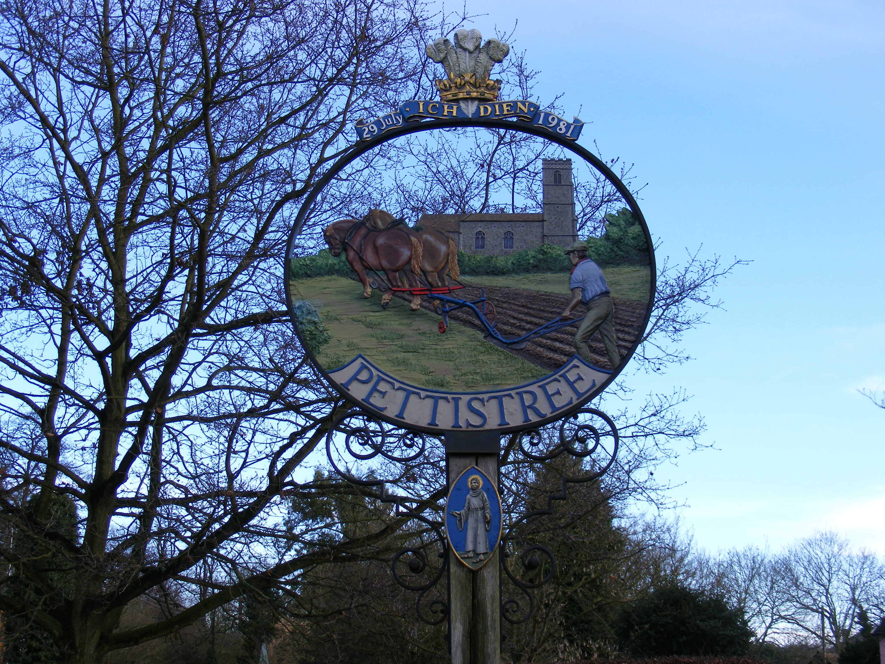
Pettistree is a small village and a civil parish in the East Suffolk district, in the English county of Suffolk. According to the 2011 Census, Pettistree had a population of 194 people and is set in around 1,800 acres of farmland. The village has many footpaths and country lanes surrounding it. Being only one mile from the larger village of Wickham Market, Pettistree uses many of their resources; such as the Post Office, Medical and Resource Centre and Children's Play Area. The Primary School situated in Wickham Market also serves the younger children of Pettistree. However, senior children are required to travel 7 miles to Thomas Mills High School which is situated in Framlingham.
Adapted from Wikipedia, CC BY-SA 4.0.
Worth seeing in and around Pettistree
2 places within 25 km that the world writes about, in the order of how widely: the ones a visitor has heard of first, then the ones only a local would name.
- 01Deben Mill
Deben Mill is a watermill on the River Deben located on the boundary between the civil parishes of Wickham Market and Hacheston, in Suffolk, England. It has been a Grade II* listed building since 16 March 1966.
2.1 km · mill in Wickham Market, Suffolk, England, UK · Wikipedia - 02Glevering Hall
Glevering Hall is a historic house and estate approximately 1 mile northwest of Wickham Market, in the parish of Hacheston, Suffolk, England. It was possessed at one time by the Abbey of Leiston.
2.7 km · house in Hacheston, Suffolk, England, UK · Wikipedia
Ranked by the number of language editions of Wikipedia with an article on each, from Wikidata; the sentences are the openings of those articles, CC BY-SA 4.0.
Getting to Pettistree
- Airports
- London Stansted (STN), 82 km · London Luton (LTN), 122 km · London Heathrow (LHR), 145 km
- Stations
- Wickham Market railway station, 3.1 km
- London, Essex → Pettistree124 km · quickest by road, 3h 3m · £13–17
- London → Pettistree124 km · quickest by road, 3h 3m · £13–17
- Luton, Luton → Pettistree125 km · quickest by road, 2h 34m · £14–19
- Plan a tripFrom anywhereThe planner compares every way there from wherever you are.
Road and air are today’s quick answer; timetabled trains, buses and ferries load on the results page from the operators’ feeds.
No local-transport research exists yet for Pettistree
Our researched notes are written from a sourced entry: every shared taxi, boat and village bus with its operator, its rule, its fare and the year we saw it, and what could not be confirmed. Nobody has done that work for Pettistree. What is above is what we hold from open sources; nothing here pretends to be more.
- Get inThe nearest station is Butley ferry is an ancient foot ferry to the south of Orford.
From Wikivoyage: Orford, CC BY-SA. Not yet checked by us; that article was last edited 2026-09.
- 01245 km
- 02275 km
- 03429 km
- 04571 km
- 05605 km
If you know how people move in Pettistree – the stand, the rule, the fare – tell us, and the note gets an entry.
Next door to Pettistree
- Uffordvillage and civil parish in Suffolk, United Kingdom2.3 km
- Wickham Marketvillage and civil parish in Suffolk, UK1.1 km
- Dallinghoovillage and civil parish in Suffolk, UK2.9 km
- Bredfieldvillage in Suffolk, England, UK3.3 km
- Letheringhamvillage and civil parish in Suffolk, England, UK3.7 km
- Campsea Ashevillage in Campsey Ash parish, Suffolk Coastal, Suffolk, England3.7 km