Horjul
Horjul is a small town in the Inner Carniola region of Slovenia.
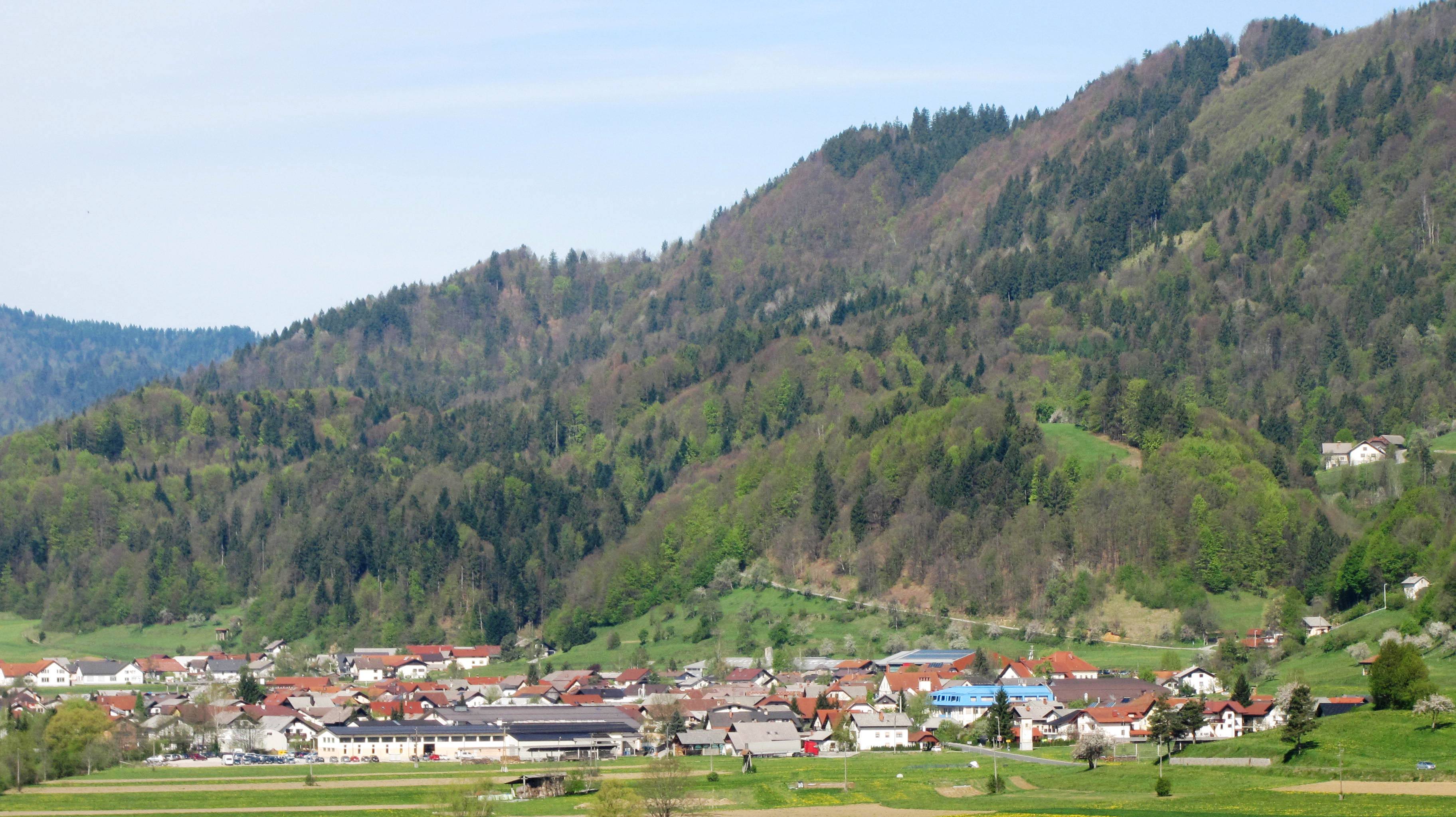
Horjul is a small town in the Inner Carniola region of Slovenia. It is the administrative center of the Municipality of Horjul. Horjul developed from a clustered village on the north side of the marshy valley of Horjulka Creek and includes the hamlets of Vovčne and Lipalca. Elevations in the territory of the settlement include Brezovec Hill, Rog Hill, and Lupar Hill to the north, and Rožman Peak, Kremenik Hill, and Čelc Hill to the south.
Adapted from Wikipedia, CC BY-SA 4.0.
Getting to Horjul
- Airports
- Ljubljana Jože Pučnik (LJU), 25 km · Trieste (TRS), 68 km · Klagenfurt (KLU), 69 km
- Ronchi dei Legionari/Trieste → Horjul67 km · quickest by road, 1h 55m · €11–16
- Klagenfurt am Wörthersee → Horjul67 km · quickest by road, 2h 10m · €10–14
- Rijeka(Omišalj) → Horjul92 km · quickest by road, 2h 49m · €13–18
- Plan a tripFrom anywhereThe planner compares every way there from wherever you are.
Road and air are today’s quick answer; timetabled trains, buses and ferries load on the results page from the operators’ feeds.
No local-transport research exists yet for Horjul
Our researched notes are written from a sourced entry: every shared taxi, boat and village bus with its operator, its rule, its fare and the year we saw it, and what could not be confirmed. Nobody has done that work for Horjul. What is above is what we hold from open sources; nothing here pretends to be more.
- 01362 km
- 02408 km
- 03417 km
- 04446 km
- 05506 km
If you know how people move in Horjul – the stand, the rule, the fare – tell us, and the note gets an entry.
Next door to Horjul
- Municipality of Dobrova–Polhov Gradecmunicipality of Slovenia3 km
- Velika Ligojnavillage in Inner Carniola, Slovenia3.3 km
- Podolnicavillage east of Horjul in the Inner Carniola region of Slovenia2.3 km
- Lesno Brdosettlement in Horjul Municipality, Slovenia2 km