Harlem River
The Harlem River is an 8-mile (13 km) tidal strait in New York City, flowing between the Hudson River and the East River.
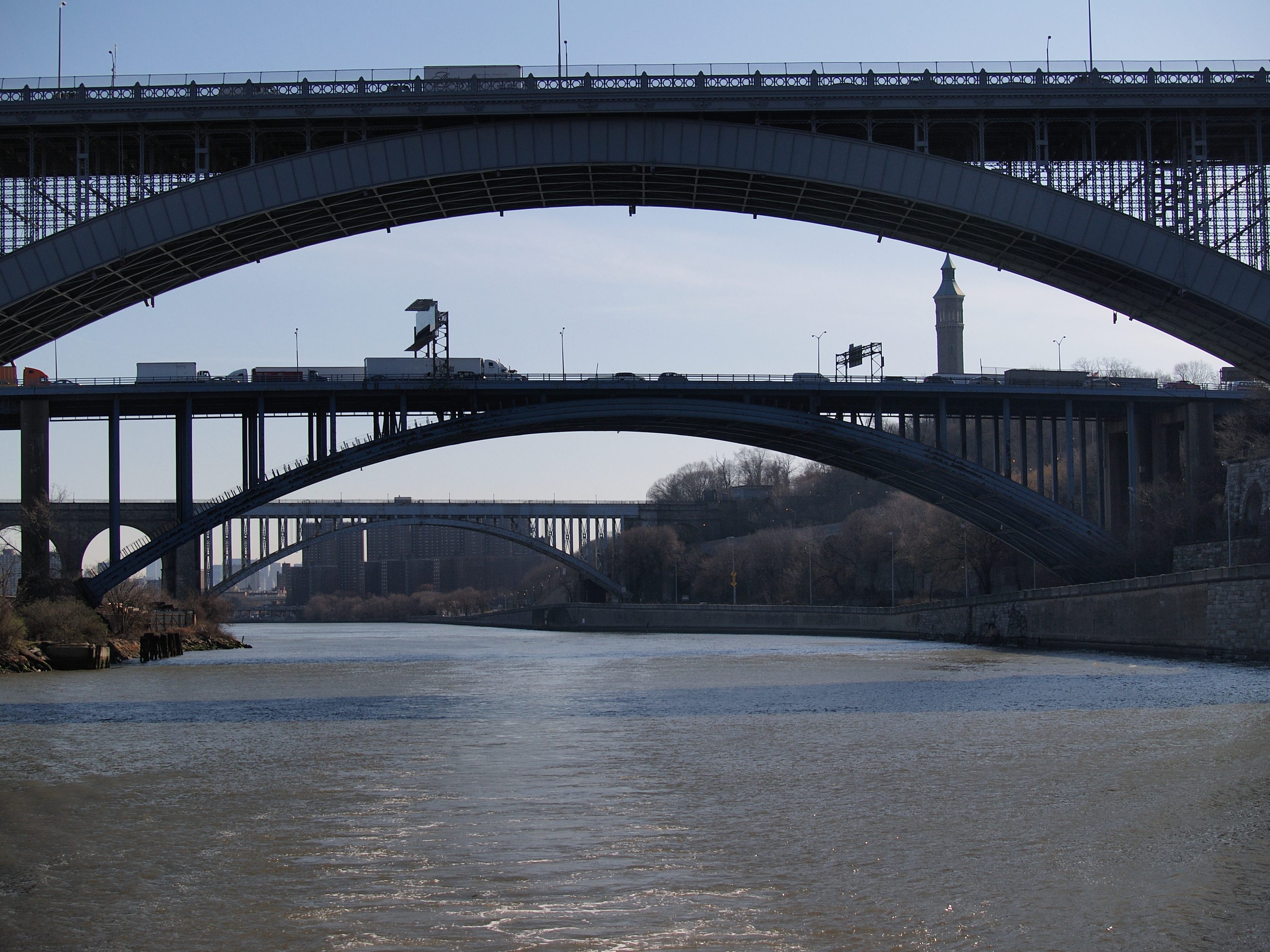
The Harlem River is an 8-mile (13 km) tidal strait in New York City, flowing between the Hudson River and the East River. It separates the island of Manhattan from the Bronx on the United States mainland.
Adapted from Wikipedia, CC BY-SA 4.0.
Getting to Harlem River
- Airports
- LaGuardia (LGA), 8 km · John F. Kennedy (JFK), 25 km · Newark Liberty (EWR), 26 km
- Philadelphia → Harlem River143 km · quickest by road, 2h 45m · $13–18
- Hartford → Harlem River147 km · quickest by road, 3h 1m · $14–19
- Albany → Harlem River202 km · quickest by road, 3h 37m · $18–25
- Plan a tripFrom anywhereThe planner compares every way there from wherever you are.
Road and air are today’s quick answer; timetabled trains, buses and ferries load on the results page from the operators’ feeds.
No local-transport research exists yet for Harlem River
Our researched notes are written from a sourced entry: every shared taxi, boat and village bus with its operator, its rule, its fare and the year we saw it, and what could not be confirmed. Nobody has done that work for Harlem River. What is above is what we hold from open sources; nothing here pretends to be more.
- Get inAlthough there isn’t a ferry in the city, Fort Lee can also be accessed by boat or ferry from New York City via Edgewater (Edgewater Ferry Landing) and Weehawken (Port Imperial Ferry) docks, on the NY Waterway service.
From Wikivoyage: Fort Lee, CC BY-SA. Not yet checked by us; that article was last edited 2026-09.
- 0170 km
- 02550 km
- 032,645 km
- 042,652 km
- 052,775 km
If you know how people move in Harlem River – the stand, the rule, the fare – tell us, and the note gets an entry.
Next door to Harlem River
Harlem River is 6 km from The Bronx, the nearest large city, whose note carries the wider picture.