Forest of Marston Vale
The Forest of Marston Vale is an evolving community forest in Marston Vale, which runs south west from the towns of Bedford and Kempston in Bedfordshire, England, towards the M1 motorway.
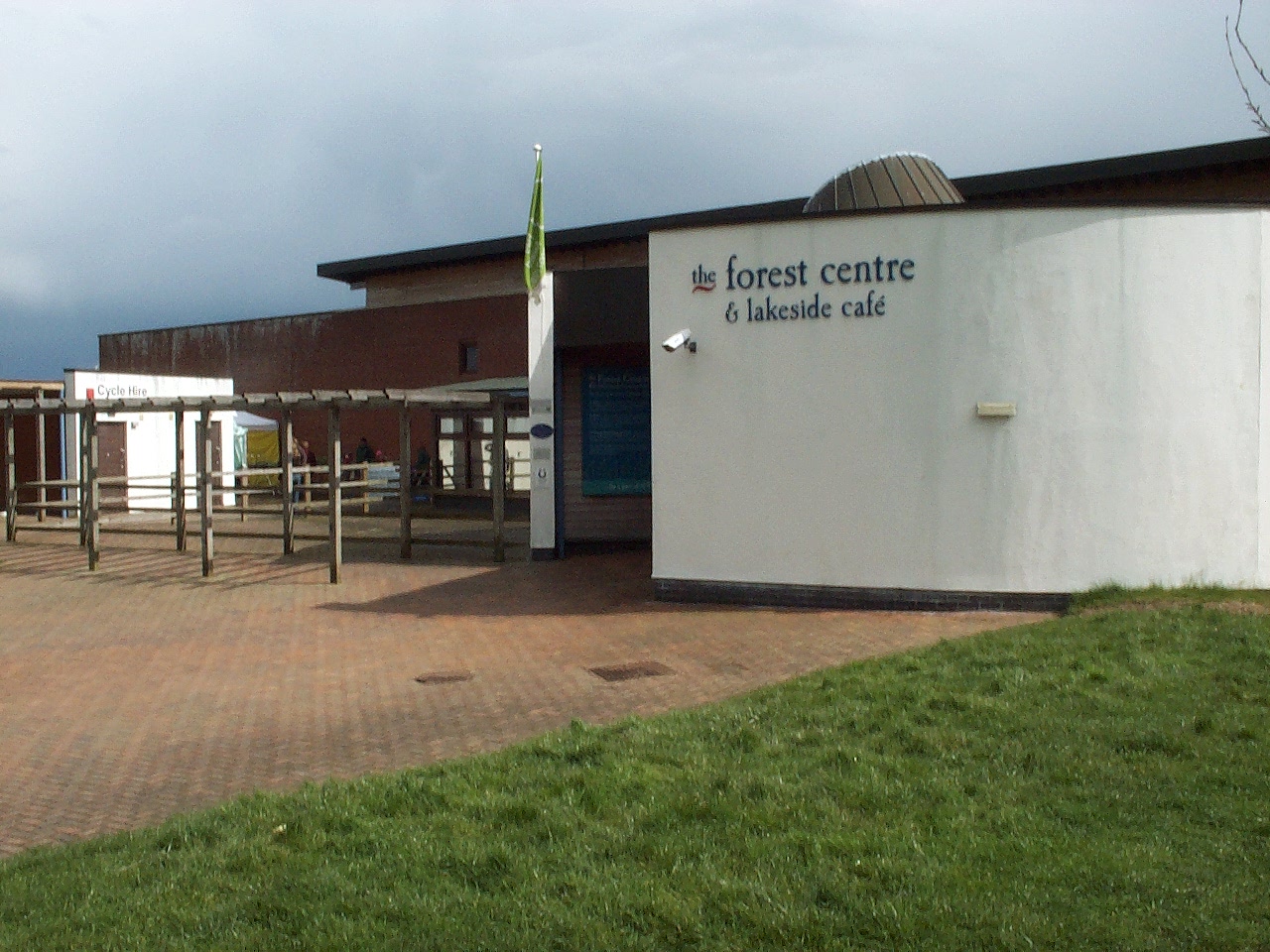
The Forest of Marston Vale is an evolving community forest in Marston Vale, which runs south west from the towns of Bedford and Kempston in Bedfordshire, England, towards the M1 motorway. It is operated by a registered charity called the Forest of Marston Vale Trust.
Adapted from Wikipedia, CC BY-SA 4.0.
Worth seeing in and around Forest of Marston Vale
4 places within 25 km that the world writes about, in the order of how widely: the ones a visitor has heard of first, then the ones only a local would name.
- 01Houghton House
Houghton House is a ruined mansion house in the parish of Houghton Conquest, Bedfordshire. It is a Grade I listed building, positioned above the surrounding countryside, and commands excellent views.
3.9 km · Grade I listed English country house in Central Bedfordshire, England, UK · Wikipedia - 02Church of St Mary the Virgin, Wootton, Bedfordshire
Church of St Mary the Virgin is a Grade I listed church in Wootton, Bedfordshire, England. It became a listed building on July 13, 1964.
3.4 km · Grade I listed church in Wootton, Bedford, Bedfordshire, England, UK · Wikipedia - 03Marston Thrift
Marston Thrift is a 37.4-hectare biological Site of Special Scientific Interest between Marston Moretaine and Cranfield in Bedfordshire. It was notified in 1984 under Section 28 of the Wildlife and Countryside Act 1981, and the local planning authority is Central Bedfordshire Council.
3.4 km · UK Site of Special Scientific Interest · Wikipedia - 04Church of All Saints, Houghton Conquest
Church of All Saints is a Grade I listed church in Houghton Conquest, Bedfordshire, England. It became a listed building on 23 January 1961.
3.7 km · church in Houghton Conquest, Bedfordshire, England, UK · Wikipedia
Ranked by the number of language editions of Wikipedia with an article on each, from Wikidata; the sentences are the openings of those articles, CC BY-SA 4.0.
Getting to Forest of Marston Vale
- Airports
- London Luton (LTN), 24 km · London Stansted (STN), 56 km · London Heathrow (LHR), 66 km
- Stations
- Millbrook railway station, 1.2 km · Lidlington railway station, 3.1 km · Stewartby railway station, 900 m · Kempston Hardwick railway station, 3.6 km
- London → Forest of Marston Vale72 km · quickest by road, 1h 56m · £8–11
- London, Essex → Forest of Marston Vale72 km · quickest by road, 1h 56m · £8–11
- Birmingham, West Midlands → Forest of Marston Vale102 km · quickest by road, 2h 14m · £12–16
- Plan a tripFrom anywhereThe planner compares every way there from wherever you are.
Road and air are today’s quick answer; timetabled trains, buses and ferries load on the results page from the operators’ feeds.
No local-transport research exists yet for Forest of Marston Vale
Our researched notes are written from a sourced entry: every shared taxi, boat and village bus with its operator, its rule, its fare and the year we saw it, and what could not be confirmed. Nobody has done that work for Forest of Marston Vale. What is above is what we hold from open sources; nothing here pretends to be more.
- 01162 km
- 02302 km
- 03395 km
- 04494 km
- 05529 km
If you know how people move in Forest of Marston Vale – the stand, the rule, the fare – tell us, and the note gets an entry.
Next door to Forest of Marston Vale
Forest of Marston Vale is 59 km from Brent, the nearest large city, whose note carries the wider picture.
- Stewartbyvillage and civil parish in Bedfordshire, UK1.4 km
- Lidlingtonvillage and civil parish in Central Bedfordshire, England3.2 km
- Marston Moretainevillage in Bedfordshire, England, UK1.1 km
- Woottonvillage and civil parish in Bedfordshire, UK3.8 km
- Millbrooksmall village and civil parish in Bedfordshire, England2.9 km
- Kempston Hardwickvillage in Bedfordshire, England, UK3.6 km