Deep Cove
Deep Cove refers to the community in the easternmost part of the District of North Vancouver, in British Columbia, Canada, and is also the geographic name of the small bay beside the town.
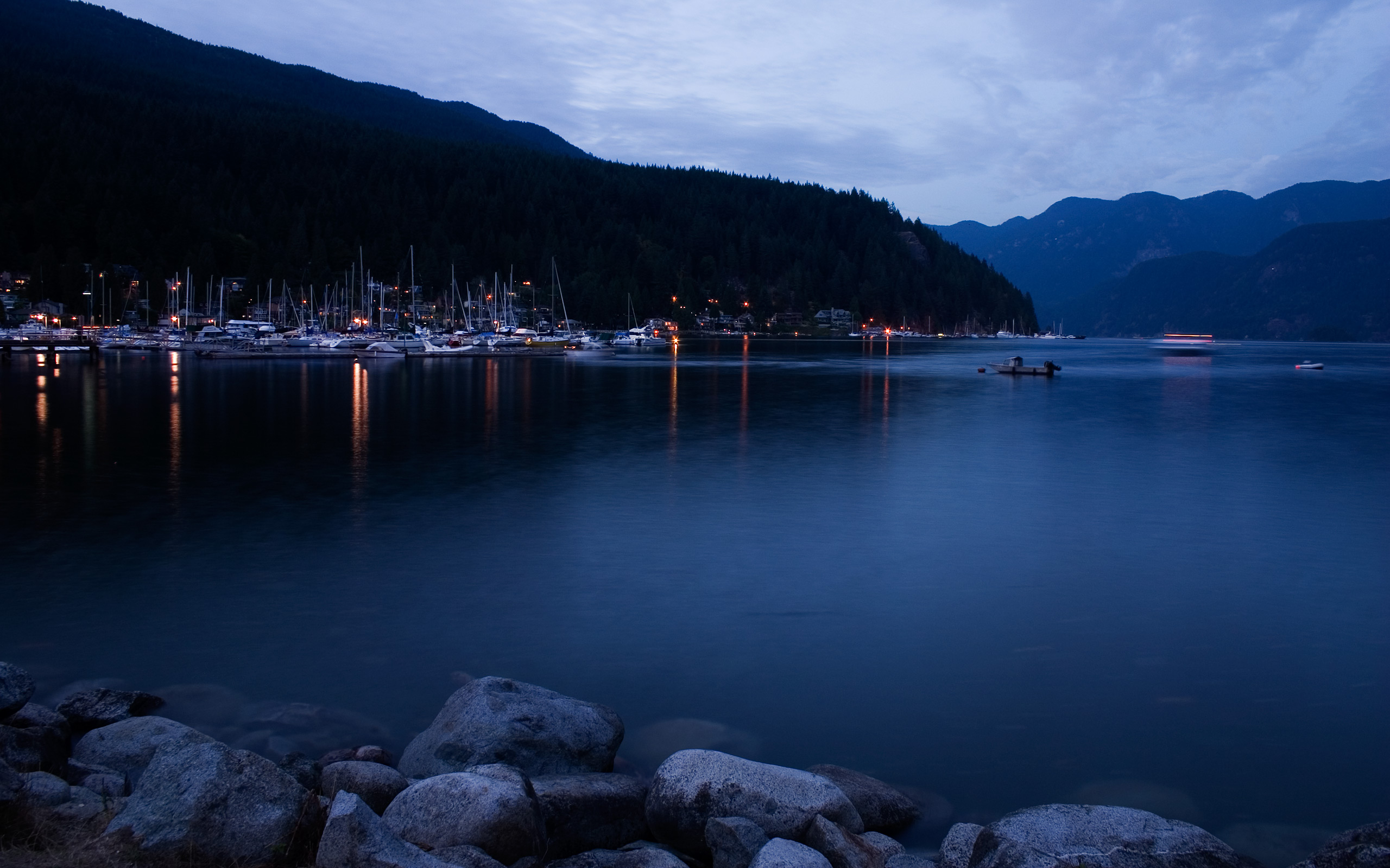
Deep Cove refers to the community in the easternmost part of the District of North Vancouver, in British Columbia, Canada, and is also the geographic name of the small bay beside the town. It is affectionately referred to as "The Cove" by local residents. Located at the foot of Mount Seymour, Deep Cove faces due east, fronting onto Indian Arm, a branch of the Burrard Inlet. The area is the traditional territory of the Tsleil-Waututh and Squamish Nations. Deep Cove is 13 kilometres (8.1 mi) from downtown Vancouver.
Adapted from Wikipedia, CC BY-SA 4.0.
Worth seeing in and around Deep Cove
One place within 25 km that the world writes about, in the order of how widely: the ones a visitor has heard of first, then the ones only a local would name.
- 01White Pine Beach
White Pine Beach is a beach on Sasamat Lake in Belcarra Regional Park in Port Moody, British Columbia. TransLink provides seasonal bus service.
3.7 km · beach in British Columbia, Canada · Wikipedia
Ranked by the number of language editions of Wikipedia with an article on each, from Wikidata; the sentences are the openings of those articles, CC BY-SA 4.0.
Getting to Deep Cove
- Airports
- Vancouver (YVR), 23 km · Victoria (YYJ), 83 km · Seattle–Tacoma (SEA), 214 km
- Victoria → Deep Cove29 km · quickest by road, 54 min · C$4–5
- Kelowna → Deep Cove257 km · quickest by air, 4h 56m · C$150–230
- Calgary → Deep Cove659 km · quickest by air, 5h 13m · C$190–290
- Plan a tripFrom anywhereThe planner compares every way there from wherever you are.
Road and air are today’s quick answer; timetabled trains, buses and ferries load on the results page from the operators’ feeds.
No local-transport research exists yet for Deep Cove
Our researched notes are written from a sourced entry: every shared taxi, boat and village bus with its operator, its rule, its fare and the year we saw it, and what could not be confirmed. Nobody has done that work for Deep Cove. What is above is what we hold from open sources; nothing here pretends to be more.
- Get inSee Vancouver for a listing of options to reach the Vancouver area by plane, by ferry, by intercity bus, and by intercity rail.
- Get aroundDeparting from Waterfront Station downtown and Lonsdale Quay in North Vancouver, the passenger only ferry ride takes 12 minutes to cross the harbour and the big windows at the front and back provide great views of the North Shore mountains and the downtown Vancouver skyline.
- Go nextIf you're not ready to return to Vancouver yet, the North Vancouver offers several options for day trips and moving on.
- Go nextGet on the ferry from Horseshoe Bay to the Sunshine Coast or Nanaimo.
From Wikivoyage: North Vancouver, CC BY-SA. Not yet checked by us; that article was last edited 2026-09.
- 0141 km
- 0269 km
- 0374 km
- 04127 km
- 05135 km
If you know how people move in Deep Cove – the stand, the rule, the fare – tell us, and the note gets an entry.
Next door to Deep Cove
Deep Cove is 15 km from Vancouver, the nearest large city, whose note carries the wider picture.
- Belcarravillage in British Columbia, Canada1.8 km