Countesswells
Countesswells is an area of Aberdeen, Scotland.
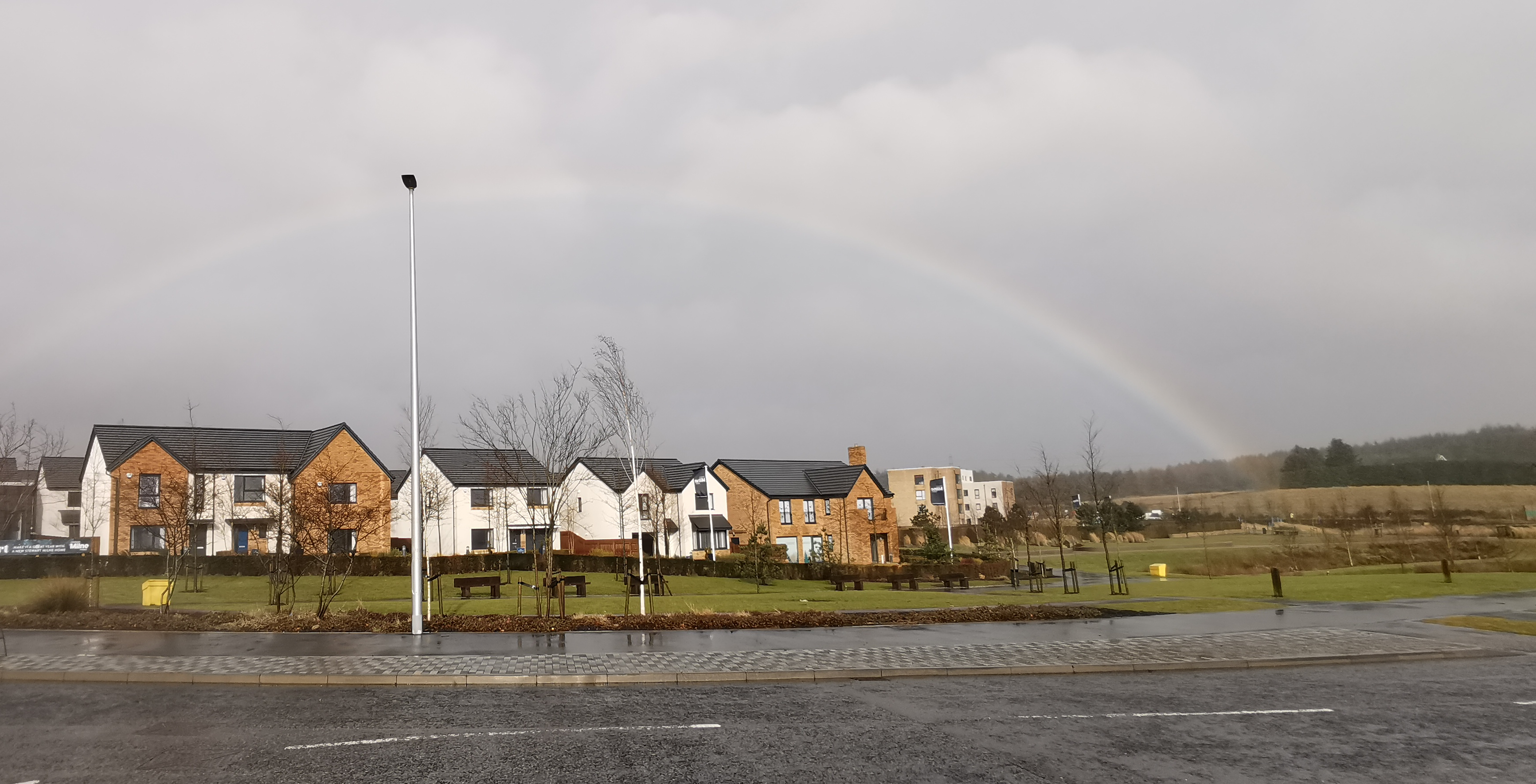
Countesswells is an area of Aberdeen, Scotland.
Adapted from Wikipedia, CC BY-SA 4.0.
Worth seeing in and around Countesswells
3 places within 25 km that the world writes about, in the order of how widely: the ones a visitor has heard of first, then the ones only a local would name.
- 01Rubislaw Quarry
Rubislaw Quarry is a quarry situated at the Hill of Rubislaw in the west end of the city of Aberdeen, Scotland. The quarry is one of the biggest man-made holes in Europe at approximately 466 ft.
3.9 km · quarry lake in Aberdeen, Scotland, UK · Wikipedia - 02Johnston Gardens
Johnston Gardens is a small public garden in Aberdeen, Scotland. The garden has won the Britain in Bloom competition many times.
3.8 km · public garden in Aberdeen, Scotland, UK · Wikipedia - 03Hazlehead Park
Hazlehead Park is a public park in the Hazlehead area of Aberdeen, Scotland. 180 hectares in size, it was opened to the public in 1920, having formerly been the estate of Hazlehead House, home of William Rose, shipbuilder.
2.1 km · public park in the Hazlehead area of Aberdeen, Scotland, UK · Wikipedia
Ranked by the number of language editions of Wikipedia with an article on each, from Wikidata; the sentences are the openings of those articles, CC BY-SA 4.0.
Getting to Countesswells
- Airports
- Aberdeen (ABZ), 7 km · Edinburgh (EDI), 150 km · Glasgow (GLA), 196 km
- Stations
- Murtle railway station, 3.3 km · Cults railway station, 3.3 km · Pitfodels railway station, 3.9 km
- Ingliston, Edinburgh → Countesswells150 km · quickest by road, 3h 1m · £18–24
- Glasgow → Countesswells189 km · quickest by road, 3h 30m · £21–28
- Prestwick, South Ayrshire → Countesswells234 km · quickest by road, 4h 19m · £26–35
- Plan a tripFrom anywhereThe planner compares every way there from wherever you are.
Road and air are today’s quick answer; timetabled trains, buses and ferries load on the results page from the operators’ feeds.
No local-transport research exists yet for Countesswells
Our researched notes are written from a sourced entry: every shared taxi, boat and village bus with its operator, its rule, its fare and the year we saw it, and what could not be confirmed. Nobody has done that work for Countesswells. What is above is what we hold from open sources; nothing here pretends to be more.
- Get inThe city also has trains every couple of hours from Inverness, ferries from Orkney and Shetland, and inter-city buses.
- Get inAll buses start from Aberdeen Union Square, next to the railway station and ferry port.
From Wikivoyage: Westhill, CC BY-SA. Not yet checked by us; that article was last edited 2026-09.
- 01210 km
- 02241 km
- 03245 km
- 04250 km
- 05252 km
If you know how people move in Countesswells – the stand, the rule, the fare – tell us, and the note gets an entry.
Next door to Countesswells
- Cultshuman settlement in Aberdeen, Scotland, UK3.1 km
- Milltimbervillage in Aberdeen, Scotland, UK4 km
- Kingswellssuburb of Aberdeen, Scotland, UK2.7 km
- Summerhillsuburb of Aberdeen, Scotland, UK3.6 km
- Craigiebucklersuburb of Aberdeen, Scotland, UK3.2 km
- Mastricksuburb of Aberdeen, Scotland, UK3.6 km