Bellerive
Bellerive is a suburb of the City of Clarence, part of the greater Hobart area, Tasmania, Australia.
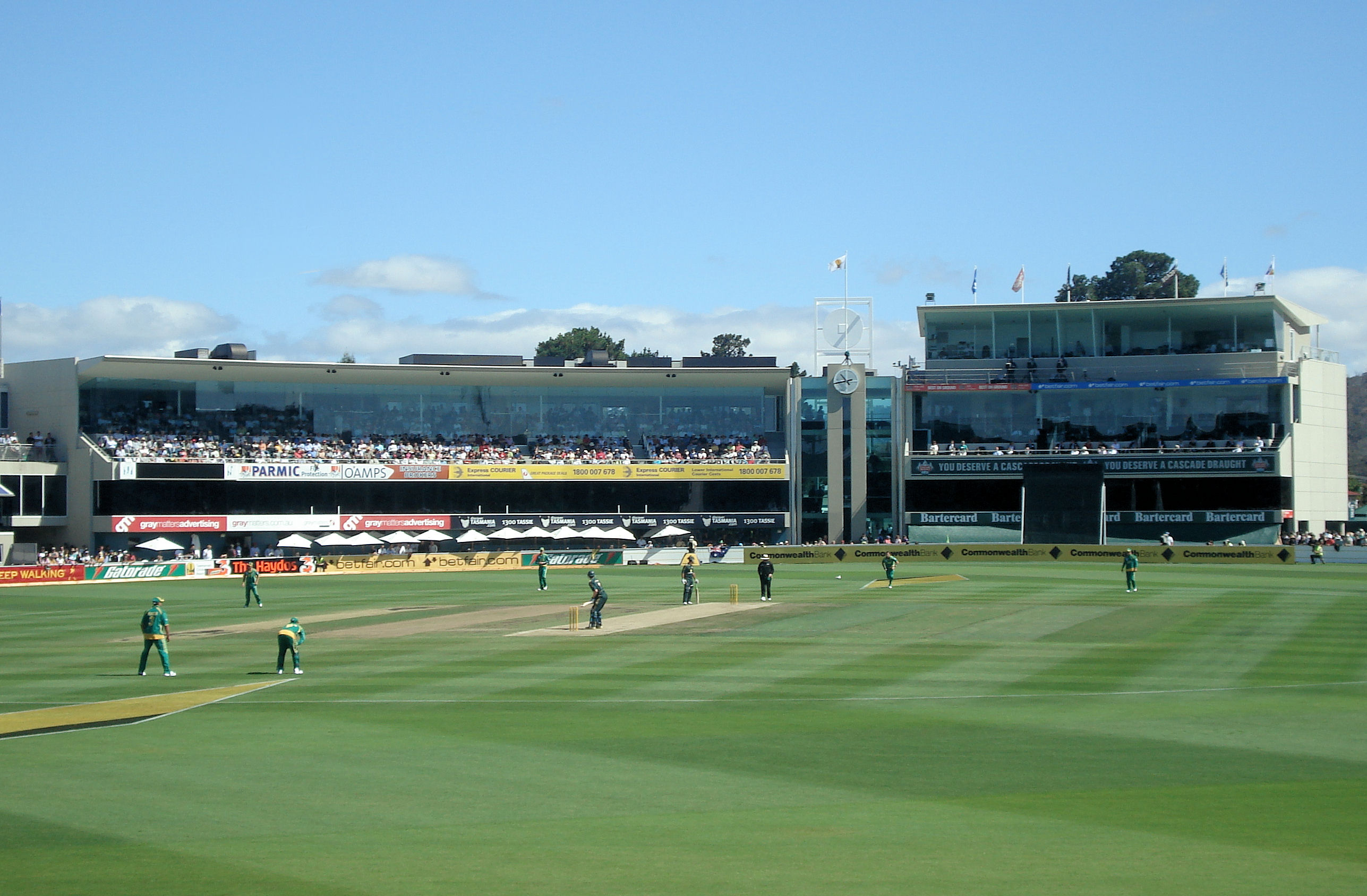
Bellerive is a suburb of the City of Clarence, part of the greater Hobart area, Tasmania, Australia. It stretches from Kangaroo Bay, bordering Rosny Park, along the shoreline of Bellerive Esplanade to Kangaroo Bluff, then to Bellerive Beach, and east to Second Bluff where Bellerive meets Howrah. To the north, Bellerive is bordered by the foothills of Waverly Flora Park. At the 2021 census, Bellerive recorded a population of 4,945.
Adapted from Wikipedia, CC BY-SA 4.0.
Getting to Bellerive
- Airports
- Hobart (HBA), 13 km
- Geelong/Melbourne → Bellerive595 km · quickest by air, 5h 23m · A$240–360
- Melbourne → Bellerive599 km · quickest by air, 5h 8m · A$220–340
- Sydney (Mascot) → Bellerive1049 km · quickest by air, 4h 56m · A$220–340
- Plan a tripFrom anywhereThe planner compares every way there from wherever you are.
Road and air are today’s quick answer; timetabled trains, buses and ferries load on the results page from the operators’ feeds.
No local-transport research exists yet for Bellerive
Our researched notes are written from a sourced entry: every shared taxi, boat and village bus with its operator, its rule, its fare and the year we saw it, and what could not be confirmed. Nobody has done that work for Bellerive. What is above is what we hold from open sources; nothing here pretends to be more.
- Get inYou can also take a car from mainland Australia via Devonport, with a ferry departing nightly from Melbourne.
- Get aroundDerwent Ferries operates services between Brooke Street Pier in the city and Bellerive Pier in Bellerive.
- Get aroundSightseeing cruises and water taxis operate services between Brooke Street Pier in the city and outlying piers along the River Derwent.
- Get aroundThere is a poorly developed network of off-road cyclepaths, but Hobart drivers tend to be tolerant of cyclists, and most roads tend to be wide enough to accommodate them.
- Get aroundOne old railway line from the city as far as Claremont has been converted to a first-class cycle and walking path (take care from motor vehicles at intersections).
From Wikivoyage: Hobart, CC BY-SA. Not yet checked by us; that article was last edited 2026-09.
- 0148 km
- 021,175 km
- 031,658 km
- 042,033 km
- 054,787 km
If you know how people move in Bellerive – the stand, the rule, the fare – tell us, and the note gets an entry.