Banora Point
Banora Point is a suburb located in the Northern Rivers region of New South Wales, Australia in Tweed Shire.
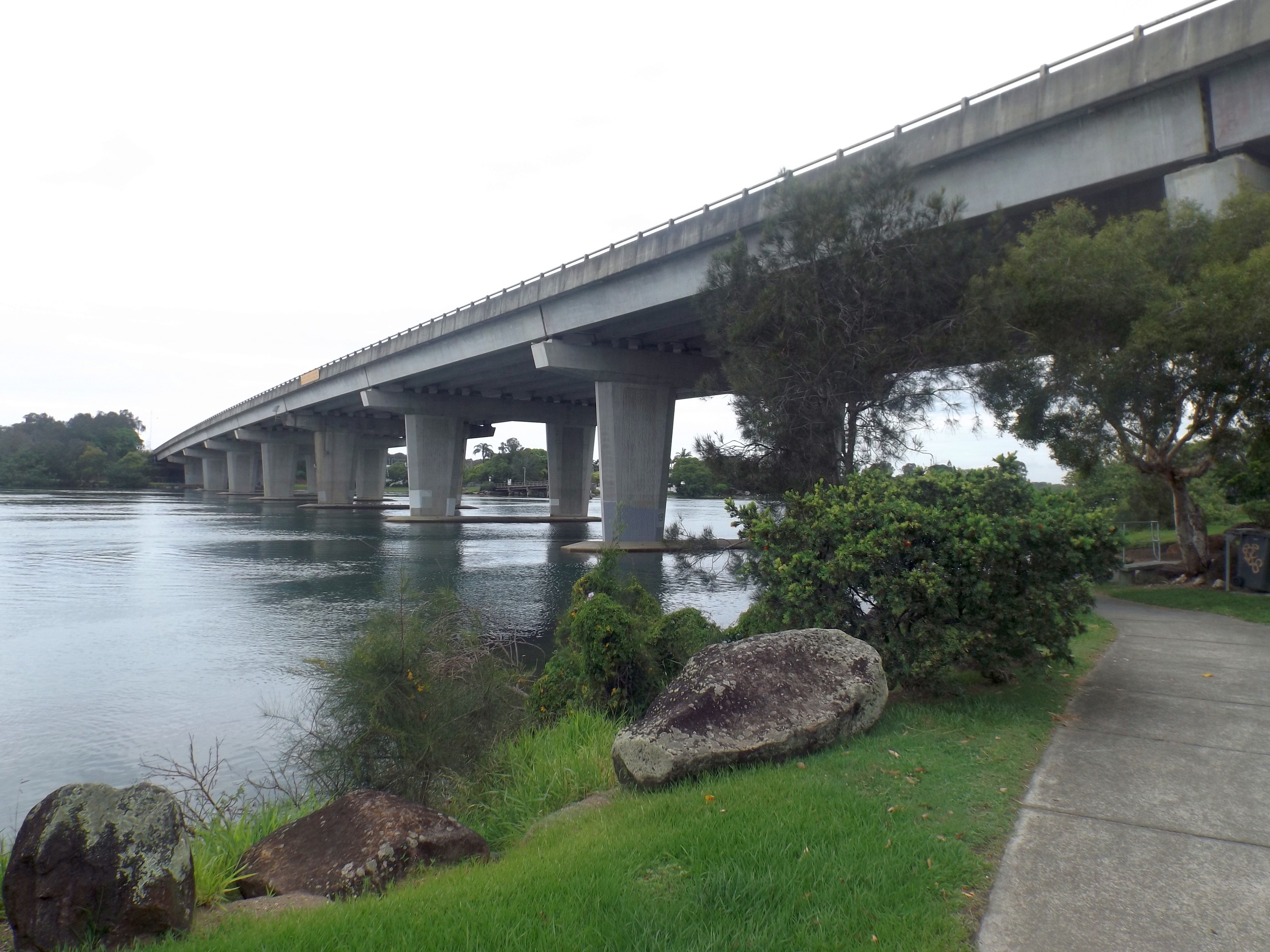
Banora Point is a suburb located in the Northern Rivers region of New South Wales, Australia in Tweed Shire. Together with Tweed Heads South and Terranora it had a combined population of 27,368 in 2001, including 21,457 (78.4%) Australian-born persons and 525 (1.9%) indigenous persons. In the 2016 census, Banora Point had a population of 16,167.
Adapted from Wikipedia, CC BY-SA 4.0.
Worth seeing in and around Banora Point
3 places within 25 km that the world writes about, in the order of how widely: the ones a visitor has heard of first, then the ones only a local would name.
- 01Duranbah Beach
Duranbah Beach, officially known as Flagstaff Beach, but also known as Dbah is the northernmost beach in New South Wales. Located in the Tweed Shire, Duranbah Beach is situated between the mouth of the Tweed River and the rocky headland Point Danger which also marks the Queensland-New South Wales border.
5.8 km · surfing beach in Tweed Shire, New South Wales, Australia · Wikipedia - 02Point Danger Light
Point Danger Light, also known as the Captain Cook Memorial Light, is an active lighthouse located on Point Danger, a headland between Coolangatta and Tweed Heads, marking the border between Queensland and New South Wales, Australia. It lays claim to be the first lighthouse in the world to experiment with laser as a light source.
6 km · lighthouse in Queensland, Australia · Wikipedia - 03Fingal Head Light
Fingal Head Light is an active lighthouse located at Fingal Head, New South Wales, Australia, a headland about 5 kilometres south of Point Danger, which marks the Queensland border.
4.1 km · lighthouse in New South Wales, Australia · Wikipedia
Ranked by the number of language editions of Wikipedia with an article on each, from Wikidata; the sentences are the openings of those articles, CC BY-SA 4.0.
Getting to Banora Point
- Airports
- Gold Coast (OOL), 6 km · Brisbane (BNE), 101 km · Sunshine Coast (MCY), 186 km
- Brisbane → Banora Point97 km · quickest by road, 1h 59m · A$13–17
- Maroochydore → Banora Point179 km · quickest by road, 3h 16m · A$25–33
- Toowoomba → Banora Point172 km · quickest by road, 3h 22m · A$25–33
- Plan a tripFrom anywhereThe planner compares every way there from wherever you are.
Road and air are today’s quick answer; timetabled trains, buses and ferries load on the results page from the operators’ feeds.
No local-transport research exists yet for Banora Point
Our researched notes are written from a sourced entry: every shared taxi, boat and village bus with its operator, its rule, its fare and the year we saw it, and what could not be confirmed. Nobody has done that work for Banora Point. What is above is what we hold from open sources; nothing here pretends to be more.
- 01337 km
- 021,746 km
- 031,768 km
- 042,230 km
- 054,057 km
If you know how people move in Banora Point – the stand, the rule, the fare – tell us, and the note gets an entry.
Next door to Banora Point
Banora Point is 26 km from Gold Coast, the nearest large city, whose note carries the wider picture.
- Tweed HeadsTown in New South Wales, Australia4.1 km
- Coolangattasuburb of Gold Coast, Queensland, Australia5.6 km
- Tweed Heads WestSuburb of Tweed Heads, New South Wales, Australia4.6 km
- Chinderahsuburb of Tweed Shire, New South Wales, Australia4.4 km
- Bilambil HeightsTown in New South Wales, Australia4.7 km
- Fingal Headtown in New South Wales, Australia3.6 km