Anna Valley
Anna Valley is part of the village and parish of Upper Clatford, Hampshire, United Kingdom.
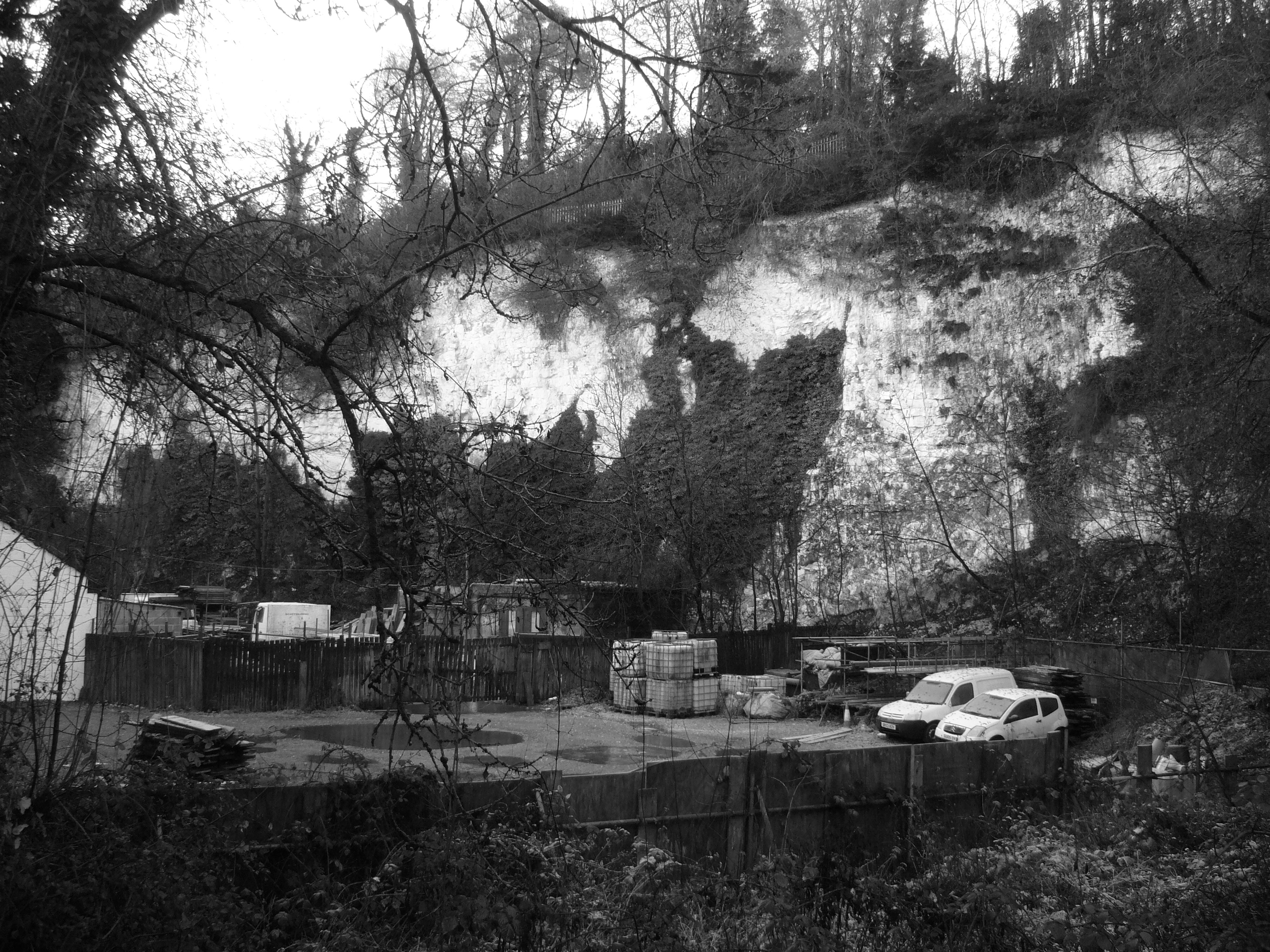
Anna Valley is part of the village and parish of Upper Clatford, Hampshire, United Kingdom. The settlement is located approximately 1.0 mile (1.6 km) south-west of the market town of Andover.
Adapted from Wikipedia, CC BY-SA 4.0.
Worth seeing in and around Anna Valley
3 places within 25 km that the world writes about, in the order of how widely: the ones a visitor has heard of first, then the ones only a local would name.
- 01Andover Canal
The Andover Canal was a canal built in Hampshire, England. It ran 22 miles from Andover to Redbridge through Stockbridge and Romsey.
1.8 km · canal in Hampshire, England, UK · Wikipedia - 02Andover Museum
Andover Museum and Museum of the Iron Age is a museum with two collections: the Andover Museum focuses on the history of the town of Andover, and the Museum of the Iron Age serves as a major focus for museum and educational activities surrounding archaeological work at the nearby Danebury hill fort. It is run by Hampshire Cultural Trust.
2.5 km · Museum in Andover, United Kingdom · Wikipedia - 03Andover Guildhall
Andover Guildhall is a municipal building in the High Street, Andover, Hampshire, England. The guildhall, which was the headquarters of Andover Borough Council, is a Grade II* listed building.
2.2 km · town hall in Andover Hants, UK · Wikipedia
Ranked by the number of language editions of Wikipedia with an article on each, from Wikidata; the sentences are the openings of those articles, CC BY-SA 4.0.
Getting to Anna Valley
- Airports
- London Heathrow (LHR), 79 km · Bristol (BRS), 87 km · London Gatwick (LGW), 92 km
- Stations
- Andover railway station, 2.2 km · Andover bus station, 2.1 km
- London → Anna Valley102 km · quickest by road, 2h 20m · £11–14
- Bristol → Anna Valley81 km · quickest by road, 2h 17m · £10–14
- Luton, Luton → Anna Valley107 km · quickest by road, 2h 25m · £13–17
- Plan a tripFrom anywhereThe planner compares every way there from wherever you are.
Road and air are today’s quick answer; timetabled trains, buses and ferries load on the results page from the operators’ feeds.
No local-transport research exists yet for Anna Valley
Our researched notes are written from a sourced entry: every shared taxi, boat and village bus with its operator, its rule, its fare and the year we saw it, and what could not be confirmed. Nobody has done that work for Anna Valley. What is above is what we hold from open sources; nothing here pretends to be more.
- 0158 km
- 02221 km
- 03498 km
- 04544 km
- 05580 km
If you know how people move in Anna Valley – the stand, the rule, the fare – tell us, and the note gets an entry.
Next door to Anna Valley
Anna Valley is 47 km from Reading, the nearest large city, whose note carries the wider picture.
- Andovertown and civil parish in Hampshire, England3.5 km
- Upper Clatfordvillage and civil parish in Hampshire, United Kingdom300 m
- Charltonvillage and civil parish in Hampshire, England, UK3 km
- Monxtonvillage and civil parish in Hampshire, United Kingdom3.6 km
- Abbotts Annvillage and civil parish in Hampshire, England, UK2.2 km
- Penton Mewseyvillage and civil parish in Hampshire, United Kingdom4 km