‘Anīn
'Anin is a Palestinian village in the West Bank governorate of Jenin.
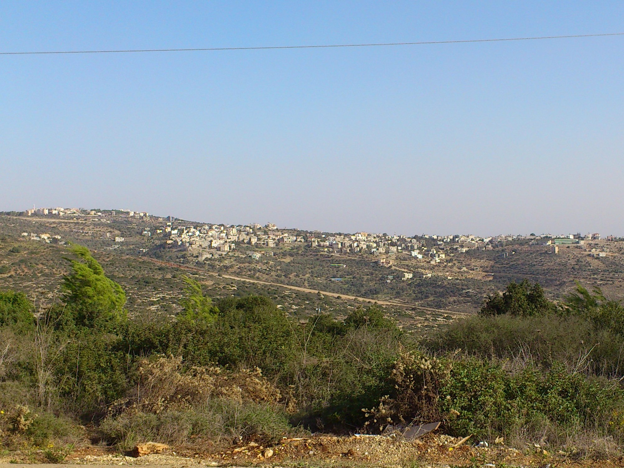
'Anin is a Palestinian village in the West Bank governorate of Jenin. According to the Palestinian Central Bureau of Statistics, the village had a population of 4,216 inhabitants in 2017.
Adapted from Wikipedia, CC BY-SA 4.0.
Worth seeing in and around ‘Anīn
3 places within 25 km that the world writes about, in the order of how widely: the ones a visitor has heard of first, then the ones only a local would name.
- 01HaShalom Stadium
HaShalom Stadium also known as Al-Salam Stadium is a stadium in Umm al-Fahm, Israel, with a capacity of 5,800. It is the home stadium of Hapoel Umm al-Fahm F.C. and Maccabi Umm al-Fahm F.C..
3.7 km · Stadium in Israel · Wikipedia - 02Umm al-Fahm Art Gallery
The Umm al-Fahm Art Gallery is an art gallery in Umm al-Fahm, Israel. The art gallery focuses on Israeli–Arab artwork, run by artist Sayid Abu Shaqra.
2.8 km · Art gallery in Umm al-Fahm, Israel · Wikipedia - 03Shahak Industrial Park
The Shahak Industrial Park is located in the northern region of the jurisdiction of the Shomron Regional Council in the West Bank, Palestine, between Afula and Hadera near the 'Barkai/Iron Interchange' of Highway 6. The industrial park is adjacent to Israeli settlements Shaked, Hinanit in the West Bank, and Katzir across the Green Line in Israel, hence the initials making up the acronym in Hebrew that is the name of the park.
3.2 km · Industrial park in Israel · Wikipedia
Ranked by the number of language editions of Wikipedia with an article on each, from Wikidata; the sentences are the openings of those articles, CC BY-SA 4.0.
Getting to ‘Anīn
- Airports
- Ben Gurion (TLV), 61 km · Marka International (Amman Civil) (ADJ), 97 km · Queen Alia (AMM), 116 km
- Tel Aviv → ‘Anīn59 km · quickest by road, 1h 38m · ₪27–36
- Amman → ‘Anīn95 km · quickest by road, 3h 6m · JD6–7
- Beirut → ‘Anīn158 km · quickest by road, 5h 29m · $28–38
- Plan a tripFrom anywhereThe planner compares every way there from wherever you are.
Road and air are today’s quick answer; timetabled trains, buses and ferries load on the results page from the operators’ feeds.
No local-transport research exists yet for ‘Anīn
Our researched notes are written from a sourced entry: every shared taxi, boat and village bus with its operator, its rule, its fare and the year we saw it, and what could not be confirmed. Nobody has done that work for ‘Anīn. What is above is what we hold from open sources; nothing here pretends to be more.
- Get inThe most logical way to enter would be to fly into Ben Gurion International Airport in Israel, take a taxi or mini-bus to Damascus Gate in Jerusalem, from there at one of Arab bus stations take bus 18 to Ramallah (₪6.50, less than an hour), cross into Ramallah and take a shared taxi from the central bus station to Jenin (₪35, 1.5-2 h).
- Get inYou then cross on foot and take a (shared) taxi or hitchhike the rest of the distance.
From Wikivoyage: Jenin, CC BY-SA. Not yet checked by us; that article was last edited 2026-08.
- 01244 km
- 02326 km
- 03450 km
- 04653 km
- 051,020 km
If you know how people move in ‘Anīn – the stand, the rule, the fare – tell us, and the note gets an entry.
Next door to ‘Anīn
‘Anīn is 59 km from Tel Aviv, the nearest large city, whose note carries the wider picture.
- Umm al-FahmArab-populated city in Israel2.2 km
- Tura al-Gharbiyavillage council in Jenin Governorate3.9 km
- Umm ar-Rihanvillage council in Jenin Governorate3.2 km
- HinanitIsraeli settlement in the West Bank2.4 km
- ShakedIsraeli settlement in the West Bank3.1 km
- Mei Amihuman settlement in Israel1.9 km