Aldingham
Aldingham is a village and civil parish in the Westmorland and Furness Unitary Authority of Cumbria, England.
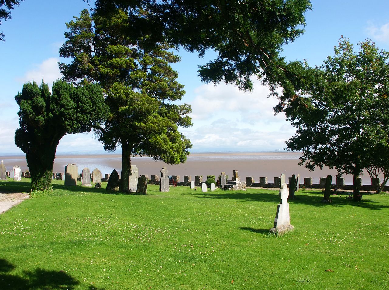
Aldingham is a village and civil parish in the Westmorland and Furness Unitary Authority of Cumbria, England. Historically in Lancashire, it is situated on the east coast of the Furness peninsula, facing into Morecambe Bay, and is about 8 miles (13 km) east of Barrow-in-Furness, and 6 miles (9.7 km) south of Ulverston. The parish includes the nearby villages of Baycliff, Dendron, Leece, Gleaston, Newbiggin, Roosebeck, Scales and a number of smaller hamlets. According to the 2001 census the parish had a population of 1,187, reducing to 1,105 at the 2011 Census.
Adapted from Wikipedia, CC BY-SA 4.0.
Worth seeing in and around Aldingham
3 places within 25 km that the world writes about, in the order of how widely: the ones a visitor has heard of first, then the ones only a local would name.
- 01Gleaston Castle
Gleaston Castle is a medieval building in a valley about 1 kilometre north-east of the village of Gleaston. The village lies between the towns of Ulverston and Barrow-in-Furness in the Furness peninsula, Cumbria, England.
2.1 km · 14th-century enclosure castle in England · Wikipedia - 02Birkrigg stone circle
The Birkrigg stone circle is a Bronze Age stone circle on Birkrigg Common, two miles south of Ulverston in the English county of Cumbria.
3.1 km · archaeological site in Urswick, Cumbria, England, UK · Wikipedia - 03St Mary and St Michael's Church, Great Urswick
St Mary and St Michael's Church is in the village of Great Urswick, Cumbria, England. It is an active Anglican parish church in the deanery of Furness, the archdeaconry of Westmorland and Furness, and the diocese of Carlisle.
3.5 km · church in Great Urswick, Cumbria, England, UK · Wikipedia
Ranked by the number of language editions of Wikipedia with an article on each, from Wikidata; the sentences are the openings of those articles, CC BY-SA 4.0.
Getting to Aldingham
- Airports
- Liverpool John Lennon (LPL), 90 km · Leeds Bradford (LBA), 99 km · Isle of Man (IOM), 99 km
- Liverpool → Aldingham77 km · quickest by road, 2h 39m · £15–19
- Leeds, West Yorkshire → Aldingham106 km · quickest by road, 3h 4m · £14–19
- Manchester, Greater Manchester → Aldingham89 km · quickest by road, 2h 32m · £14–19
- Plan a tripFrom anywhereThe planner compares every way there from wherever you are.
Road and air are today’s quick answer; timetabled trains, buses and ferries load on the results page from the operators’ feeds.
No local-transport research exists yet for Aldingham
Our researched notes are written from a sourced entry: every shared taxi, boat and village bus with its operator, its rule, its fare and the year we saw it, and what could not be confirmed. Nobody has done that work for Aldingham. What is above is what we hold from open sources; nothing here pretends to be more.
- 01207 km
- 02243 km
- 03268 km
- 04345 km
- 05353 km
If you know how people move in Aldingham – the stand, the rule, the fare – tell us, and the note gets an entry.
Next door to Aldingham
Aldingham is 48 km from Preston, the nearest large city, whose note carries the wider picture.
- Baycliffvillage in Cumbria, United Kingdom1.5 km
- Dendronvillage in Cumbria, England, UK3.5 km
- Gleastonvillage in Cumbria, England, UK2.6 km
- Scalesvillage in South Lakeland, Cumbria, United Kingdom1.1 km
- Stainton with Adgarleyvillage in Cumbria, United Kingdom3.9 km
- Newbigginvillage in Aldingham, Cumbria, UK2.2 km